Turned back again…

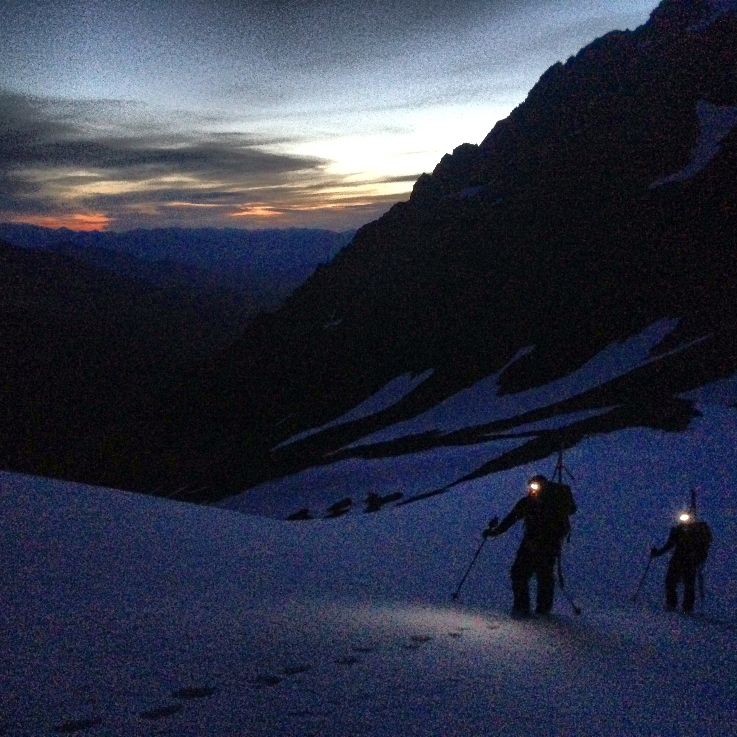
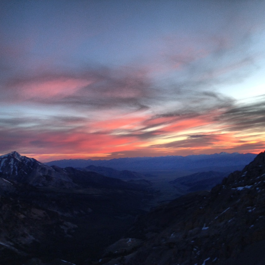
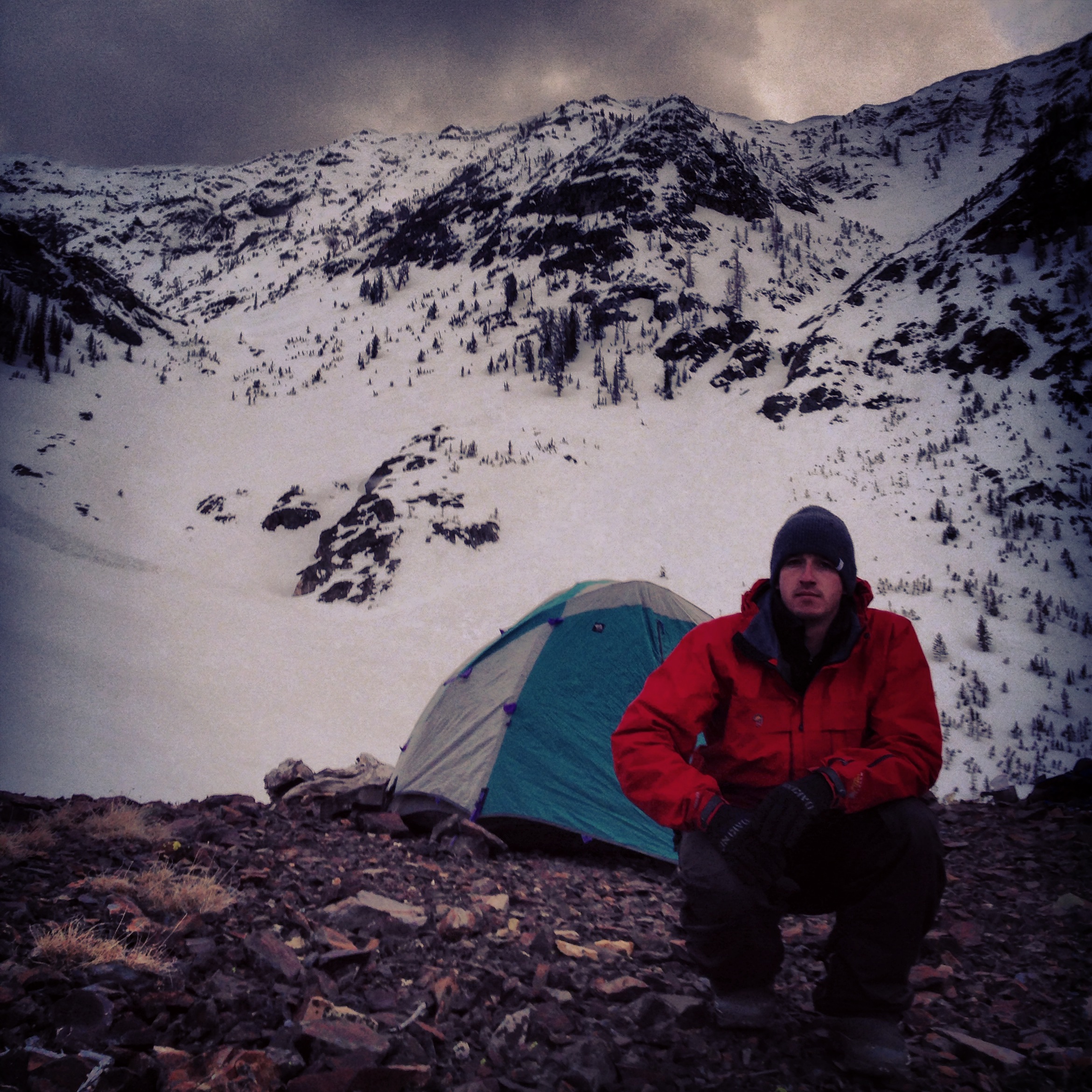
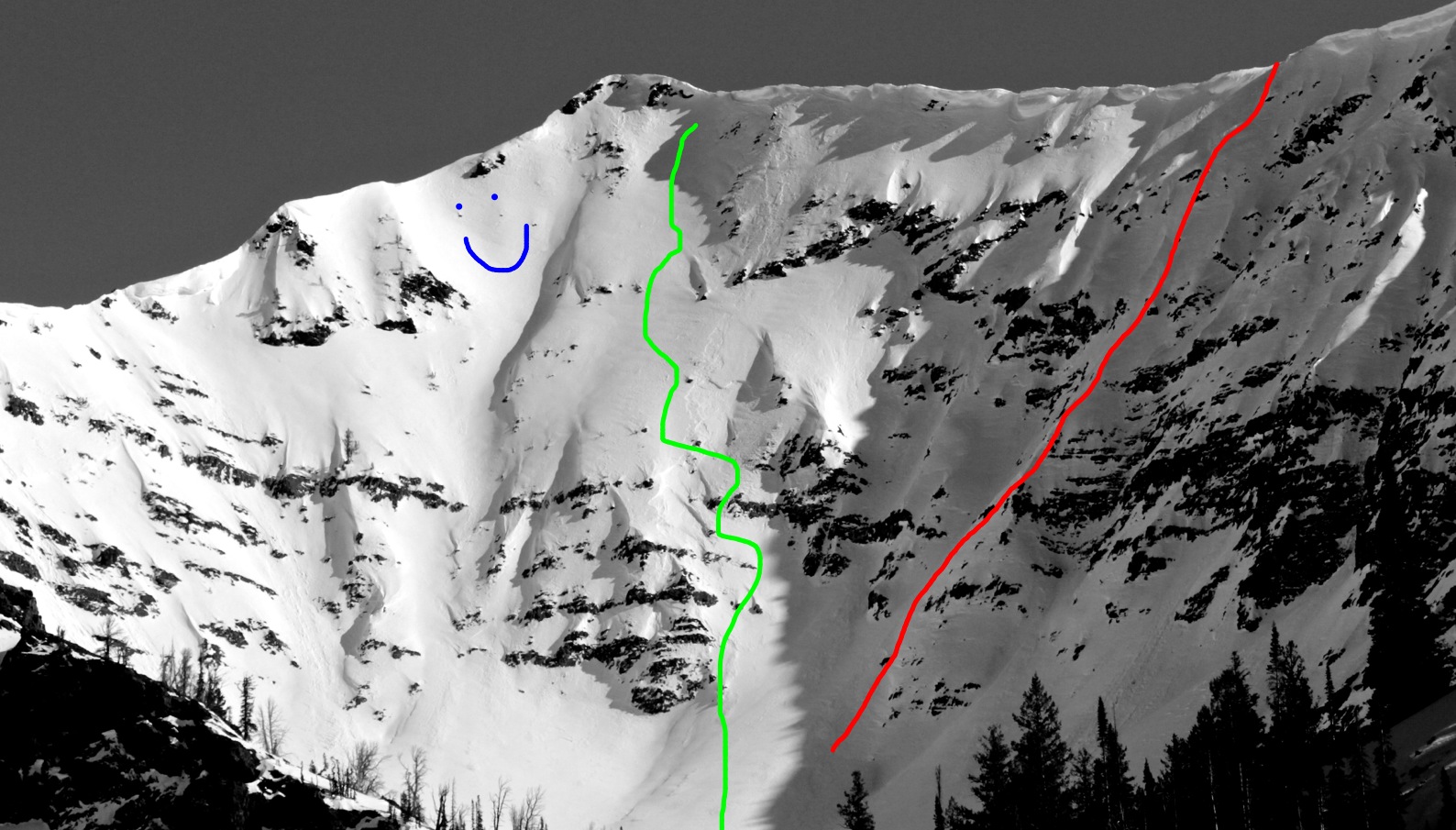
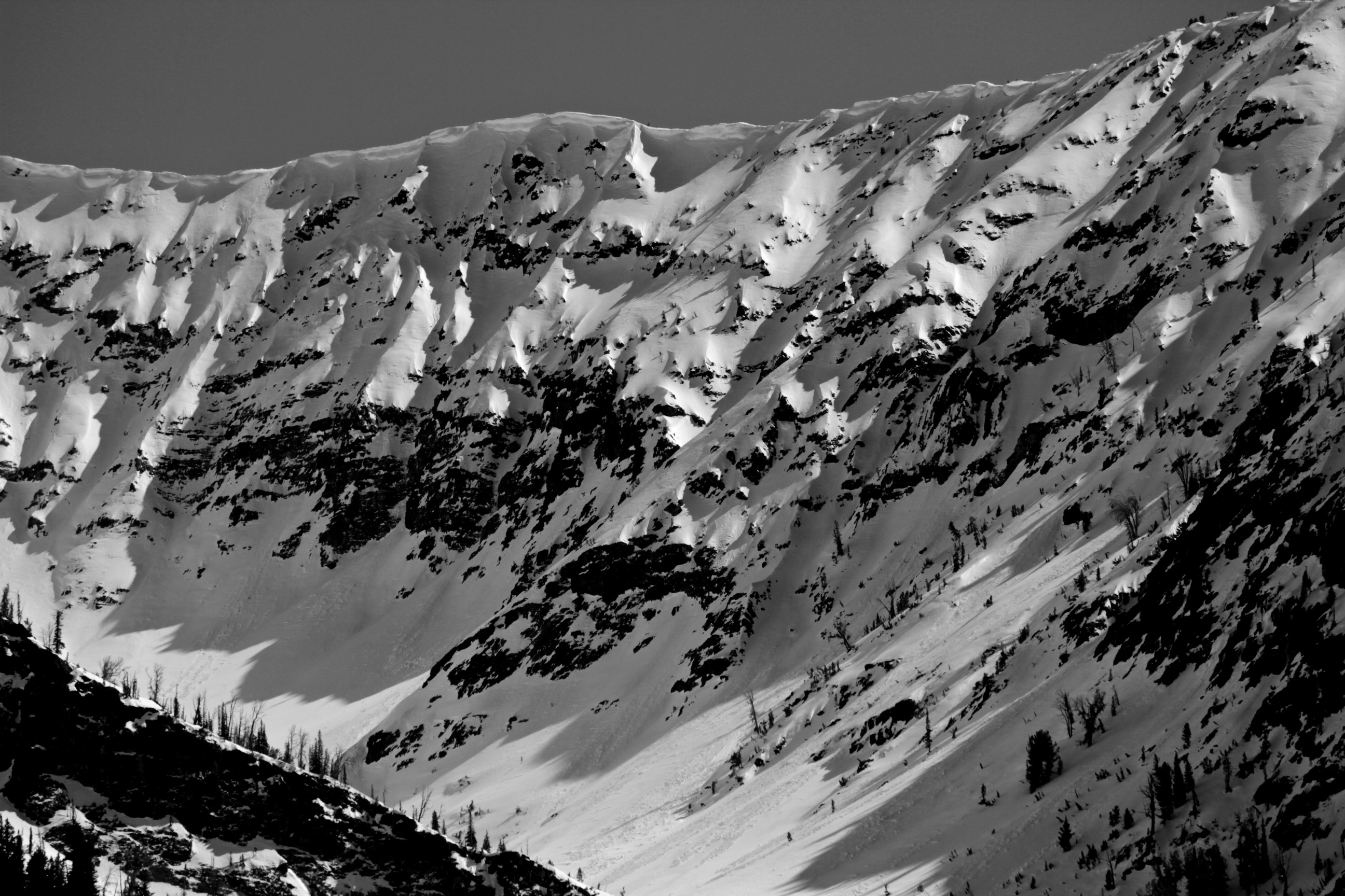
Yet another unsuccessful attempt. A few weeks ago, Andrew, Parker, and I attempted to climb and ski what is possibly a new route on the north face of Mt. Breitenbach – Idaho’s 5th highest peak and the 4th highest in the Lost River Range. I’ve been looking at this line for a long time. In the route photo, which is not mine, but from SummitPost.org, you can see the line we wanted to take, although we only made it to the red mark.

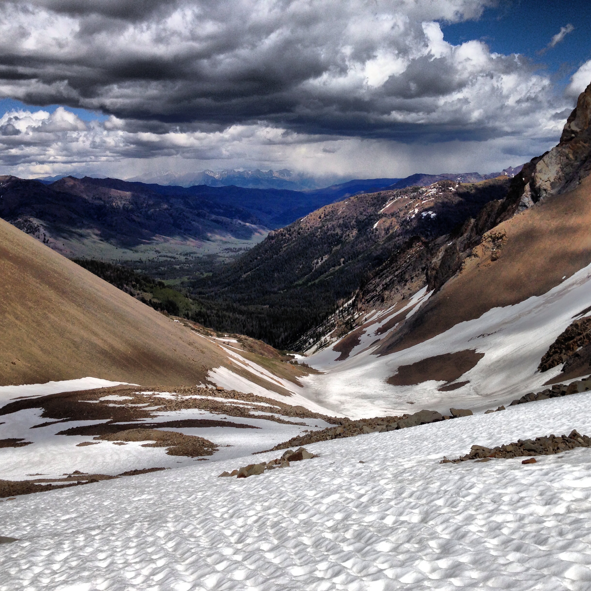
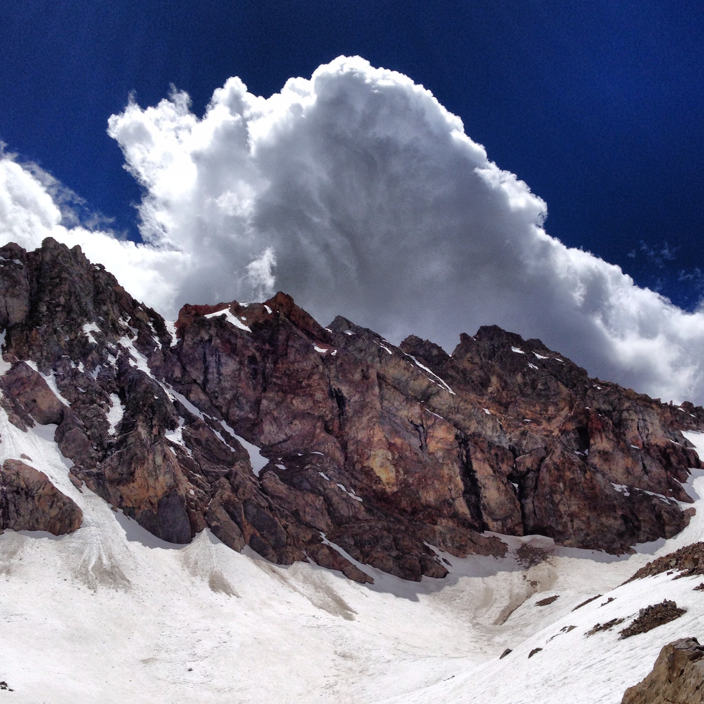
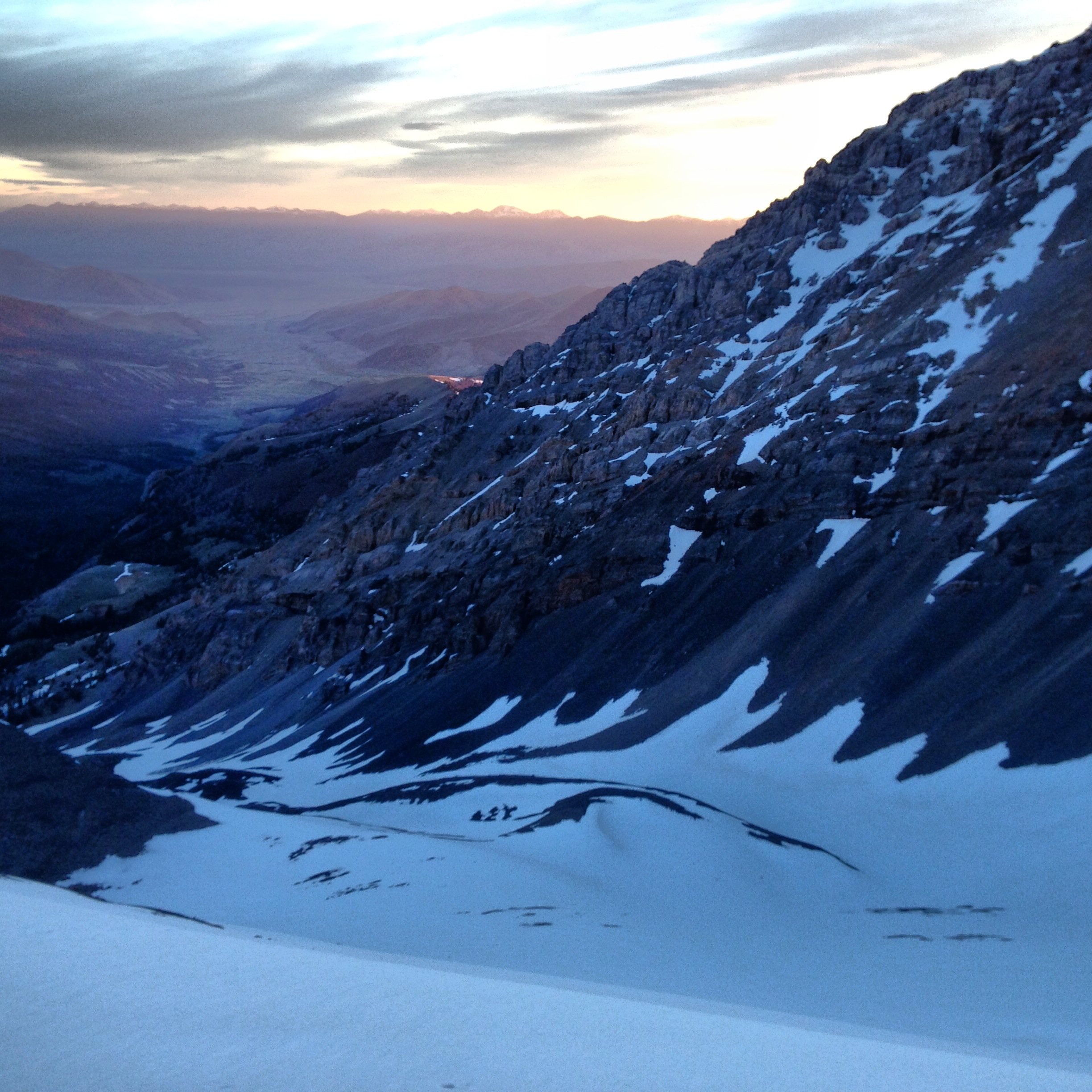
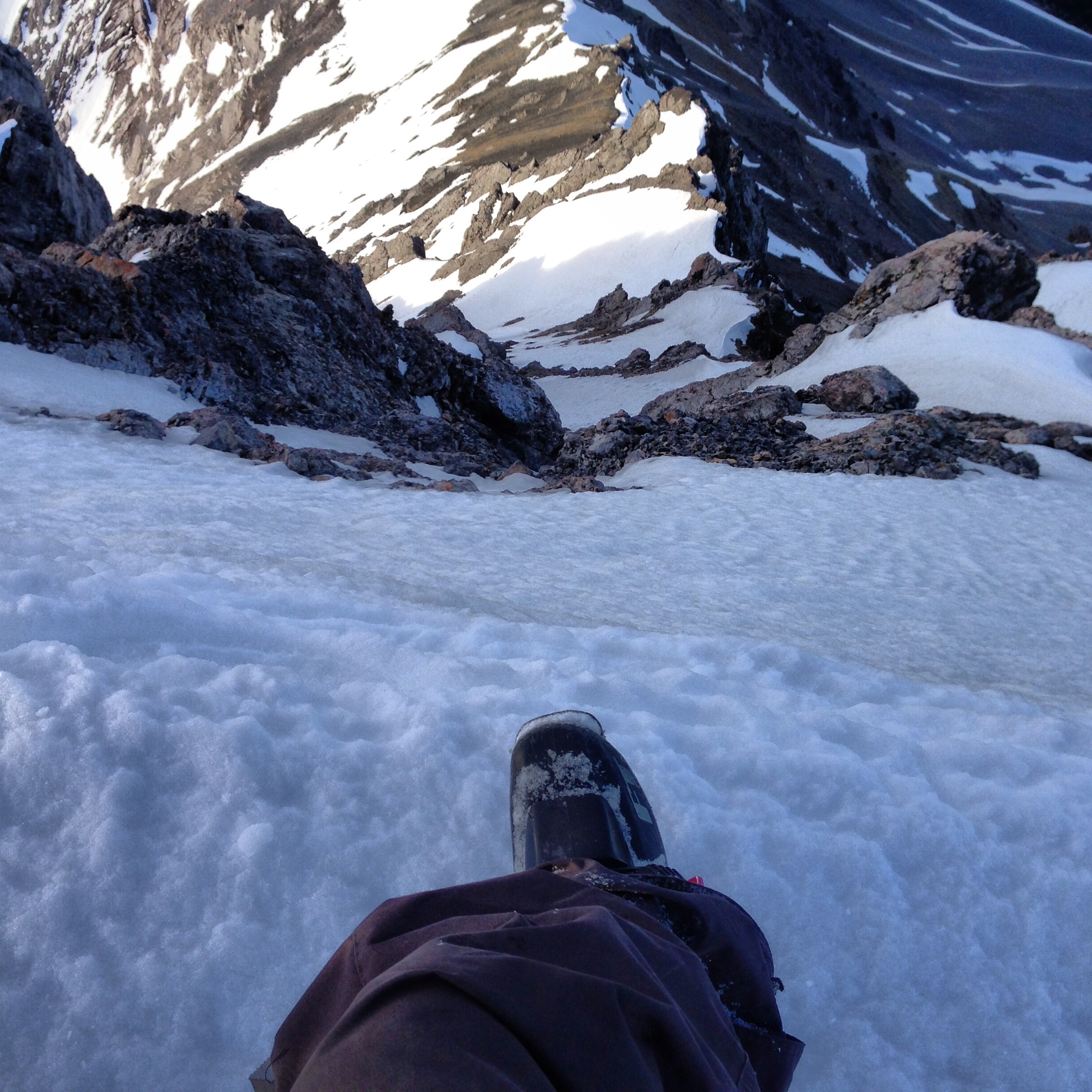
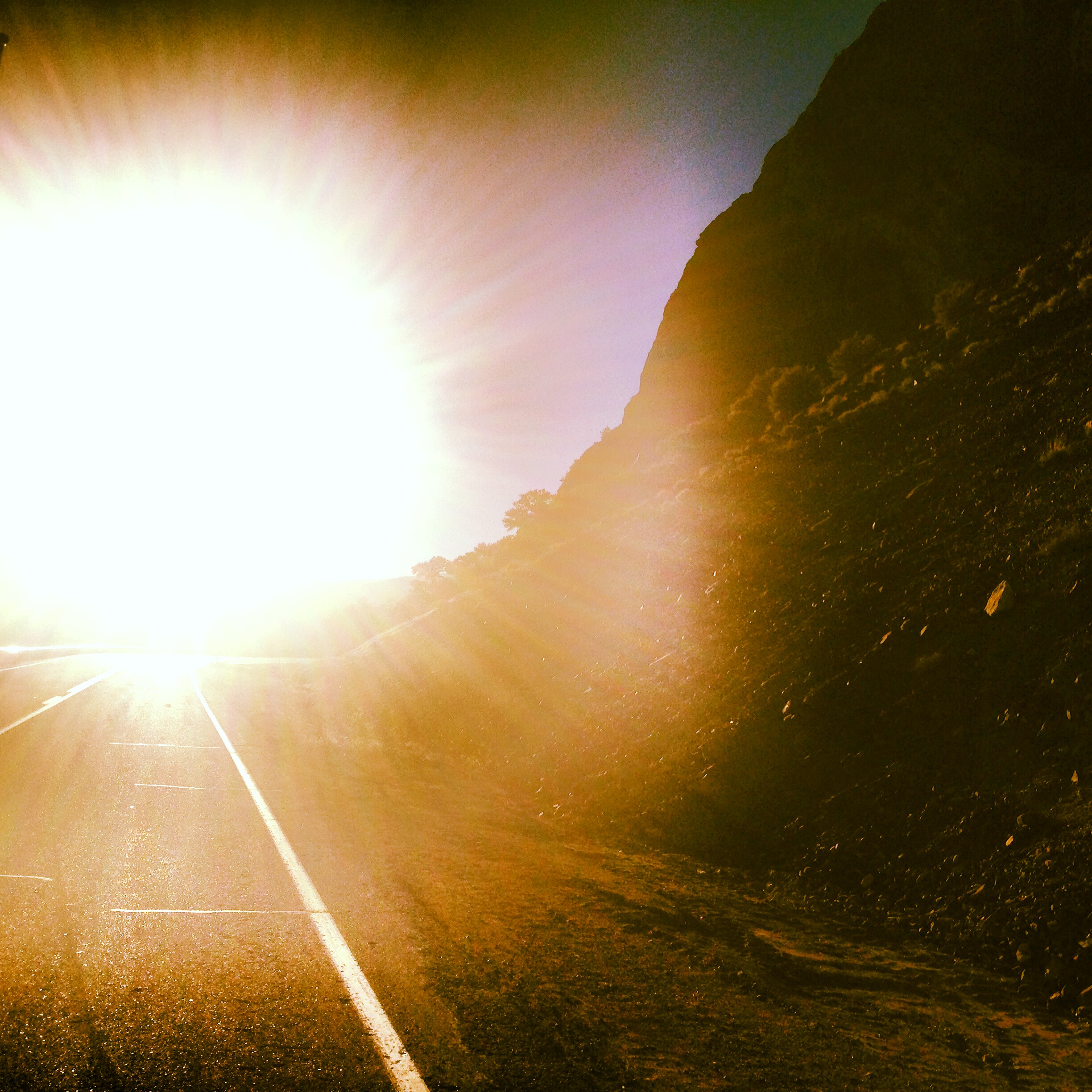
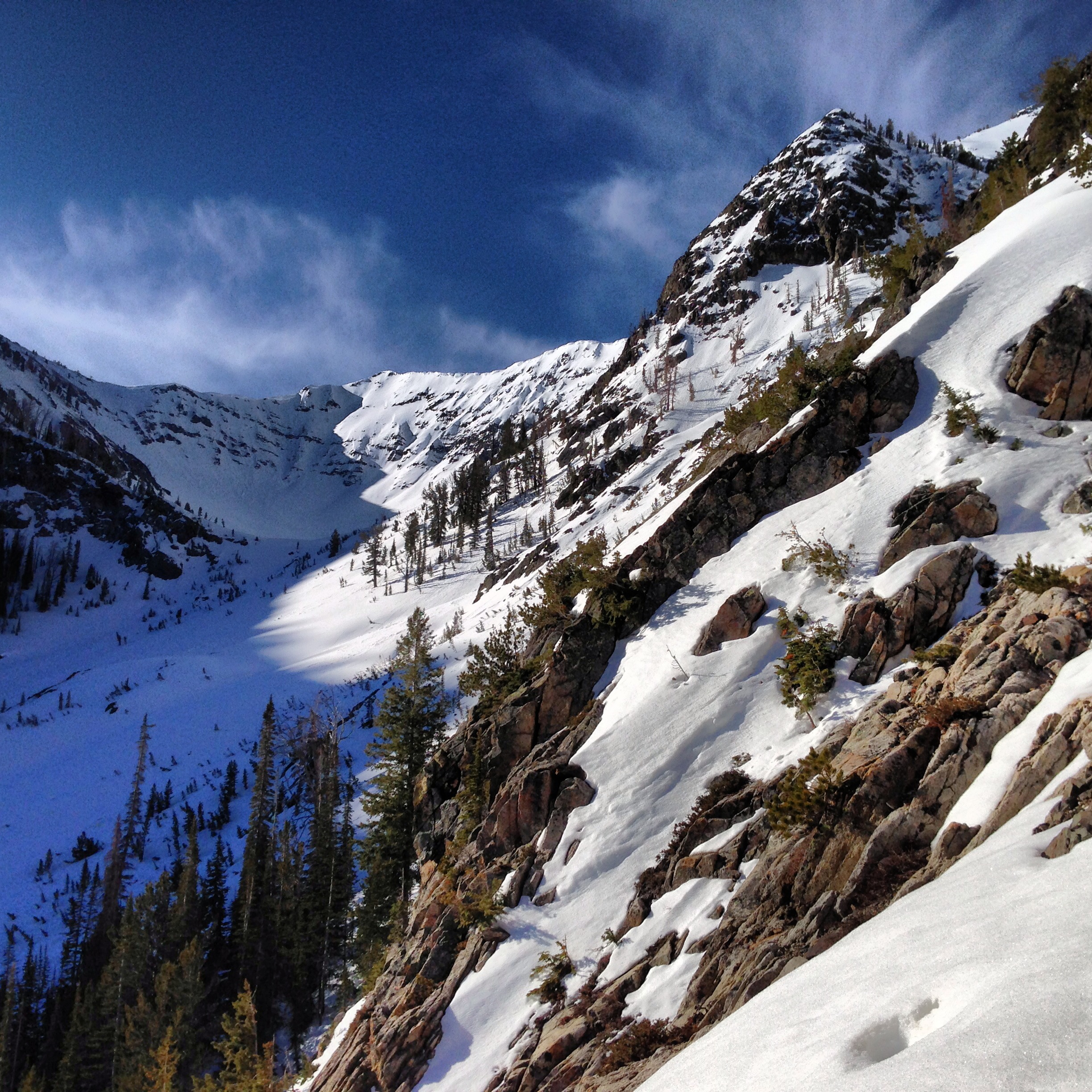
After leaving the truck at 445am, which was much too late of a start, we made our way up a somewhat lengthy approach to the snowfields below the wishbone couloir. Things were already starting to heat up. There were old wet slides everywhere and runnels in the couloirs so we decided to leave skis and just go for the climb, and either walk down the other side, or walk down/rappel however far we make it up the route. We made it up the first several hundred feet with no issues, and made it to the base of the two couloirs. The original plan was to climb the looker’s right side couloir, but upon arrival, the left seemed like a more straightforward choice.

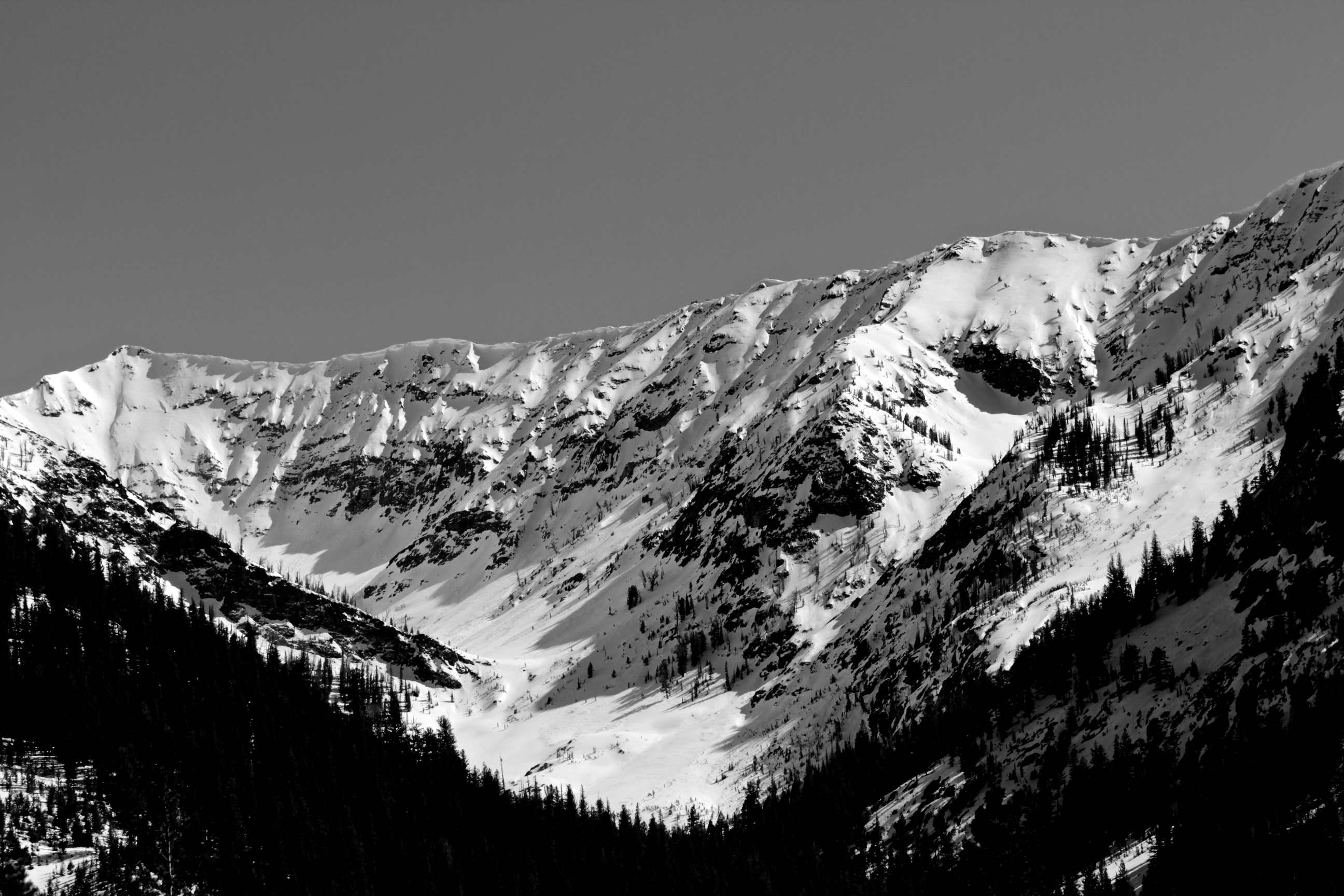
We made it about a third of the way up the couloir in a running belay and started to notice more and more small snow and rock debris coming down the couloir. The snow was still solid in the shady couloir but the sunlight outside the walls was hot. Just as we were discussing whether to continue up or retreat based on our late start and lack of clear descent route, a basketball-sized rock came barreling off the cliffs above and landed in the snow about 20 feet behind us, where we had just been climbing through. We decided that rockfall hazard was increasing quickly with the heat and that a fast retreat was probably our best option.

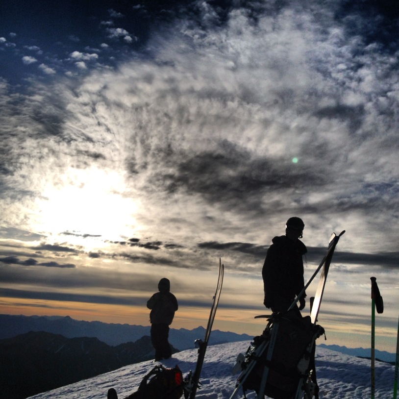
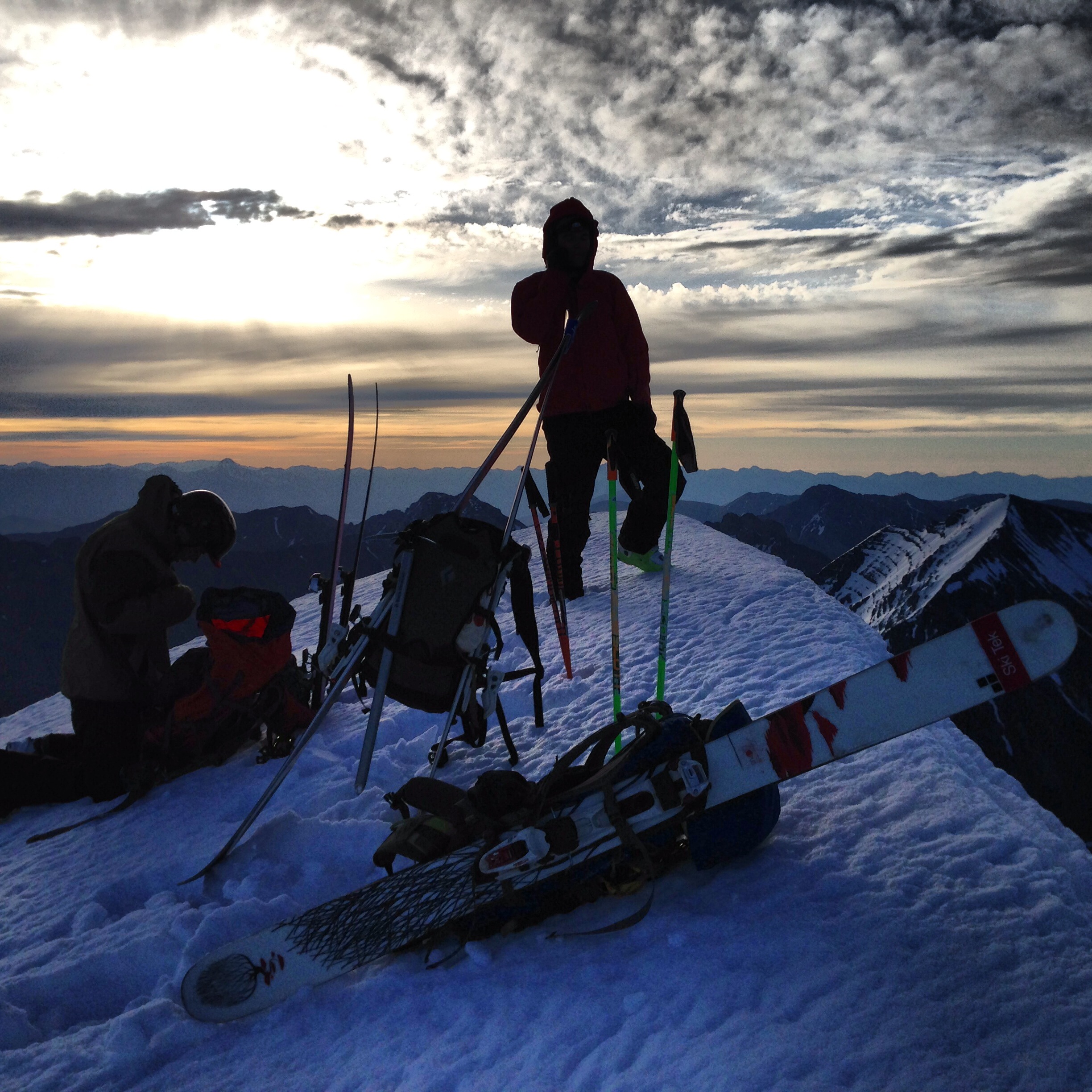
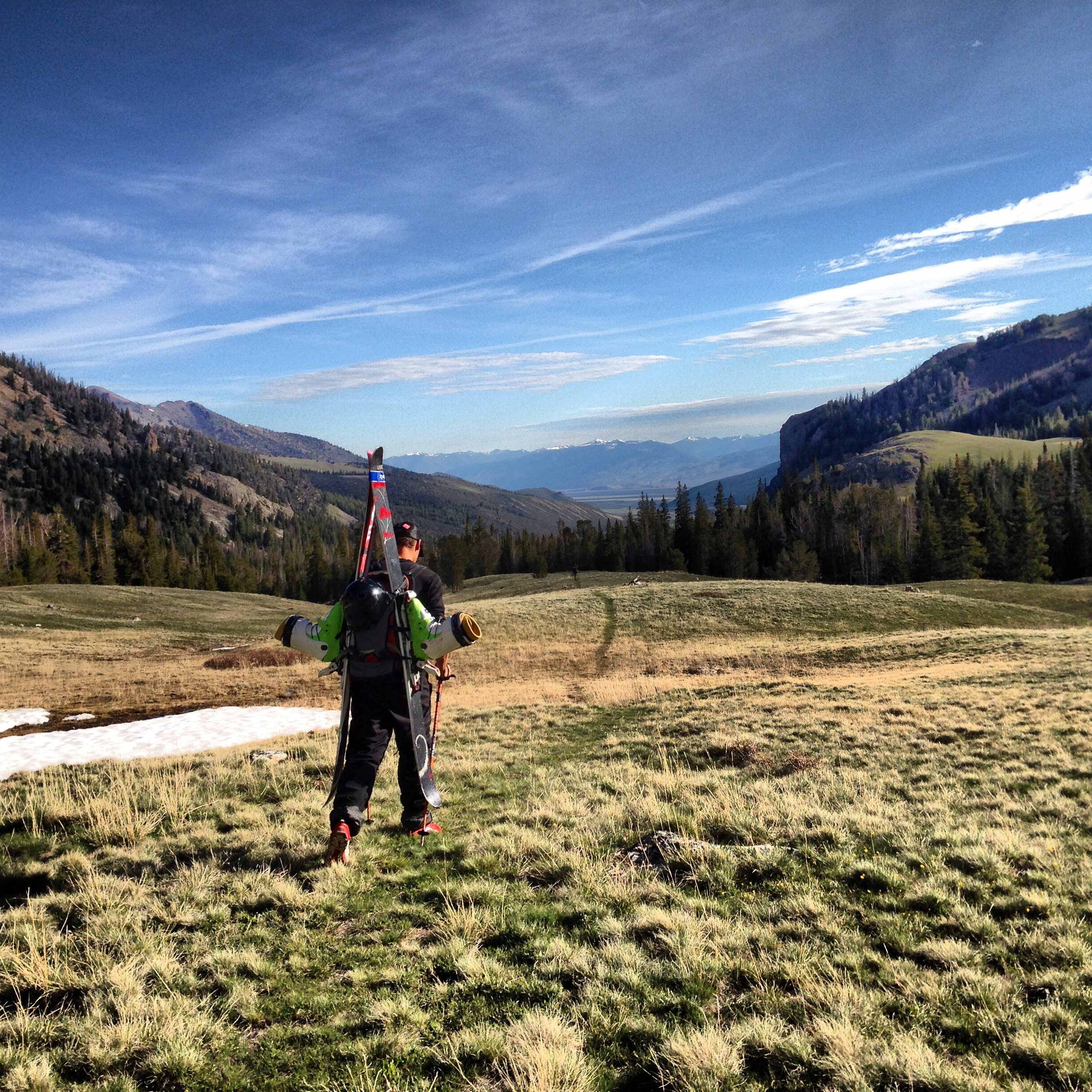
We remained in a sort of swinging running belay as we down climbed, always leaving at least one snow stake in for the steep section until we were out of the couloir, where we then simply walked down through the 1-3 foot deep mushy snow. Exhausted, we napped for an hour or so while listening to the soothing sounds of rockfall on the face. We woke up to the reality that we still had to make it back to the truck. The hike back was somewhat brutal, probably due to the heavy packs with both ski and climbing equipment. Although disappointed we didn’t make it to the top via this route, it was satisfying getting back to camp knowing we had nothing planned for the rest of the day. We hope to return to complete this route, hopefully within a couple of weeks!image_1 image_6 image_5 photo 2 photo 3

Bushwhacking and snow bivying in the Boulders

This was an interesting trip. Having climbed and skied Ryan Peak’s north face last June, we got a great view of the north couloir on its neighboring peak, Kent. This was a low snow year so we thought there was a chance the couloir might not have snow in it. Rather than try to ski it, we decided just to bring gear to climb it if it was doable and walk off the other side to get back.

There was a slight chance of precipitation that night but as Andrew and I were leaving the truck at the far reaches of the North Fork Big Lost River Road, the weather looked nice so we just brought sleeping bags and pads, which is what we usually do when the weather is good.

We began the trail-less trek to the base of Kent Peak’s north face, and after about an hour of slow-speed tree hurdles we made it out of the trees and into the bigger and steeper than expected valley. From here we traversed steep slopes towards the base of the couloir, encountering a mountain goat along the way. Eventually we made it to snow, and tromped our way up to some small patches of rock right below the north couloir, which was disappointingly lacking enough snow for a good climb (and definitely wasn’t skiable!).

Bummed we won’t be climbing but enjoying the view and appreciating the fact that we didn’t have to wake up at 3, we laid our pads on the rocks (no, it wasn’t comfortable) and got into our sleeping bags as we prepared dinner, noticing the wind picking up and clouds moving in. As we went to sleep while it began to lightly snow, we joked about how exposed we were, with no tent, surrounded by snow and rocks, at 10,000′. We laughed and then tightened up our sleeping bags, going into mummy mode.

When I woke up an hour later, there was a mini blizzard outside, with snow blowing sideways all around us. Still warm, and glad this precipitation didn’t arrive in the form of rain, I burrowed back into my bag and tried to get back to sleep on my super comfortable rock mattress. It continued snowing and at one point there was about a half inch of snow on top of everything, including us. Somehow, we stay dry and mostly warm through the night, and woke up to blue skies! The walk out always seems longer than the walk in, but we made it back to the truck in a couple of hours. I can’t wait to come back earlier next year and ski this one.

image_1 image_2 image_3 image_4 image_5 image_6 image_7

Skiing Leatherman Peak

After a couple failed attempts on some more technical lines recently (no thanks to our strange spring snowpack), we decided to keep it mellow for once and just climb and ski something simple. We had been spending a lot of time in the Lost Rivers this spring and so we decided Leatherman Peak was perfect. Leatherman Peak is the 2nd highest peak in Idaho behind Mt. Borah (which we have yet to do in winter/spring conditions), and its Northeast face rises 3000′ above the West Fork of the Pahsimeroi River.

The approach is simple and relatively short. We camped out the night before at the trailhead to Leatherman Pass. The skiing crew consisted of my brother Andrew, Parker Brown, and myself, while Jeremy hung back in camp to take photos.

We woke up at 1230am and had a small breakfast with some black tea. Luckily we woke up early enough to be able to justify groggily stumbling around camp for a little while before we finally hit the trail at 115. Trails are a rare thing for us, and we appreciated this one as we made better than expected time through the forest to the base of Leatherman and the beginning of the snow.

Still in total darkness, we began climbing up steep snow and rock with our headlamps on (only later, on the way back down, did we realize that we took an overly difficult route up this bottom section). I was feeling very strong, and we made good time as we progressed up the climber’s right side of the northeast face. Eventually, we gained the ridge, giving us a breathtaking view of neighboring White Cap peak basking in the golden morning sun. The views from this point on were absolutely spectacular as we watched the sun rise over the mountains and valleys behind us while the desert to the immediate west of the range was still dark in the shadows of the early morning hours.

We continued on in great climbing conditions, without the need for even a single axe, occasionally climbing over small rock sections. At 645, we reached the small summit, excited to be somewhere so cool so early in the morning! With a slight wind, the summit was just a little chilly as the sun’s pace of rising seemed to slow. Because of the size of the range compared to the desert 6000′ below, a tremendous shadow of the mountain projects halfway across the valley below, creating one of the most magnificent vistas I have ever seen.

After taking everything in both mentally and digitally, we started to make a plan for the descent. While the conditions were good for climbing on the way up, there was no freeze the night before, with the low only reaching 45 at the truck. The snow down low was mush even in the dark hours, and although the snow was mostly supportable on the way up, we knew it wouldn’t last long once the sun hit it. Rather than trying to wait to time it just right, we decided to drop right away and get headed back to camp.

The snow was good. We all agreed it was like a slightly icy Baldy groomer, which is better than it sounds. We all skied pretty high-speed almost non-stop, regrouping a couple times on the way down to give each other super stoked high fives. After skiing 3000′ to the meadow below, we put our shoes back on, strapped the skis back to the packs, and hiked slash jogged back to camp, arriving at 10am.

The rest of the day was spent lazing around and recouping, with plenty of hours of napping. At 6pm, Andrew and I woke up and decided we were going to hike back towards Leatherman Pass and try to climb the north face of White Cap peak. We spent a couple hours hiking back toward where we had just came from and then headed west toward Pass Lake, which would be our bivy spot. Upon arrival, after noticing the beauty of the still-frozen lake below the huge peaks in the evening light, we also noticed that all the routes looked very difficult, most being steep couloirs blocked by vertical rock at the bottom. The routes looked hard, especially considering the plan was to climb most of it in the dark. We decided instead to just enjoy the view, sleep in, and then head back to camp. A several minute long period of rockfall during the night, and plenty more in the morning, reassured us that we made the right choice. image_10 image_9 image_8 image_3 image_6 image_7 image_4 image_5 image_4 image_1 image_2 image image_8 image_7 image_6 image_5 image_9 image_2 image image_1

Sierra East Side

The end of May was a fun (and busy) couple of weeks. My brother Andrew and I left Idaho en route to Lake Tahoe, which has been our home for the past 4 years while we attended school at Sierra Nevada College. Now, after finishing classes in December, we were returning to participate in our graduation ceremony! It was a great time – awesome to see friends from school and hang with family while celebrating a pretty big milestone.

We didn’t spend much time at the Lake after graduation, as we headed down to the Bay Area to begin a 3-day, 225 mile bike ride from Sunol to Paso Robles with our Dad. It actually all went smoother than I expected and besides a sore butt after our first (90 mile) day, I felt strong for the entire ride. It was nice to experience via bike a gorgeous part of California that you would not usually see in a car as the route took all back roads.

After the ride, we left the Bay and headed for an old favorite spot – Yosemite’s Tioga Pass. Having just come from graduation and a road bike ride, we weren’t properly prepared for this unplanned stop. With plenty of snow left to play on, we found ourselves wishing we had brought ski and ice gear. Without crampons, there was no way to access most of the alpine rock routes, either. The trip ended up being more of a scenic tour as we enjoyed a sunset on the smooth granite domes of Tuolumne Meadows, camped in the van, and then proceeded back down the pass in the morning, where we then enjoyed views of the beautiful and strange Mono Lake. What looks like a desolate martian landscape is actually home to an extremely productive ecosystem of trillions of brine shrimp, algae, and millions of migratory birds.

With its high deserts, martian lakes, ghost towns, and snowy peaks, California’s Eastern Sierra is one of the most treasured spots in the state.

image_4 image_1 image_7 image_6 image image_3 image_5

City of Rocks

Fed up with the delicate spring snow conditions, we decided to take a few days off and experience a different realm – vertical rock! Having lived in Idaho for 10 years now, I’ve always heard of the City of Rocks but have never been. I used to rock climb when I was much younger and am only now getting back into it as I expand my knowledge and experience of my main interest, which is climbing and skiing in the alpine environment.

It is no wonder that this area was designated as a National Reserve – the City of Rocks is truly magical. While the rocks have nowhere near the height or grandeur of a place like Yosemite Valley, the quality and quantity of routes here will excite any climber or mountain lover. Even for people who like to stay on the ground, City of Rocks provides some of the most beautiful, interesting, and unique views in the whole state.

After staying for a couple days, we realized we did much more hiking than climbing as we tried to familiarize ourselves with the layout of the City. We spent some time top roping a few short and easy 5.9’s, and then spent a full day practicing our leading skills on a 5.6, which was my first lead on rock.

As soon as Saturday rolled around, every camping spot in the Reserve was taken and the popular climbing routes started having lines, so we packed up and headed out! Although I’ve heard about the scorching summer heat at the City, I will definitely be back here soon!image photo 3 photo 2 image_4 photo 1 image_6 image_5photo 5image_3 image_2 image_7 photo 4image_1

Attempt on Summit Creek Peak

After scoping some cool lines in the vicinity of the Trail Creek road during our last trip over the pass, we decided to make an attempt on Summit Creek peak via a steep, semi-technical climbing route followed by a mellow ski descent back down (on the route picture, red is up; green is down).

The day before the attempt, we headed off from the van in the late afternoon with very heavy packs filled with plenty of climbing and ski gear. We made it to (very mushy) snow within 30 minutes and skinned for another 2 hours or so to reach camp at about 8400′ in the basin below Summit Creek peak. Luckily we found some freshly melted out ground for the tent, which we promptly set up and crawled into after a quick dinner.

When our alarm went off at 4am we quickly fired up the stove to heat some water for our oatmeal, which we quickly consumed before hitting the snow. At 430am the snow felt good and hard near camp – things were looking good!

However, not 30 minutes later as we headed up a steeper slope into the higher basin did things begin to change. As we got on to the deeper snowpack, we realized only the top 4 inches or so was frozen solid – a result of the slow transformation process (no thanks to the recent high nighttime lows) of our layered, faceted winter snowpack into a solid spring/summer snowpack. While skinning we began to collapse through this top layer and found ourselves swimming in feet of sugar – hardly the type of snow we were looking for to climb a near 50 degree snow line.

Conditions continued to deteriorate to the point where we could make almost no upward progress through the snow. With the sun shining bright and beginning to heat things up, we decided to abort. We clicked into our bindings and skied carefully back to the tent.

Wanting to make the most of our failed mission, we decided to practice our roped climbing and anchor skills by climbing a short couloir near camp. After that, we packed up and skied one of the most unenjoyable sections of snow back towards the car. 55+ pound packs and skiing through pine bough covered snow with patches of dirt every couple hundred feet is no fun. After a rough final stream crossing, we finally made it back to the van!

image_7imageimage_5image_2

May 1 – Trail Creek Road Open!

One of my favorite times of the year in Sun Valley is late Spring. The temps are increasing, the winter snowpack is turning to corn, and the dirt roads start opening! Thanks to an unusually low snowpack this year, Trail Creek road (which heads Northeast from Sun Valley toward Mackay) opened earlier than usual, providing early access to one of our favorite ski and climbing playgrounds. On May 1st, my buddy Jeremy (jeremylato.com) and I made the first voyage of the season over the pass to check out how the goods were looking!

image_2image_3image_11image_4image_5image_8image_6imageimage_10