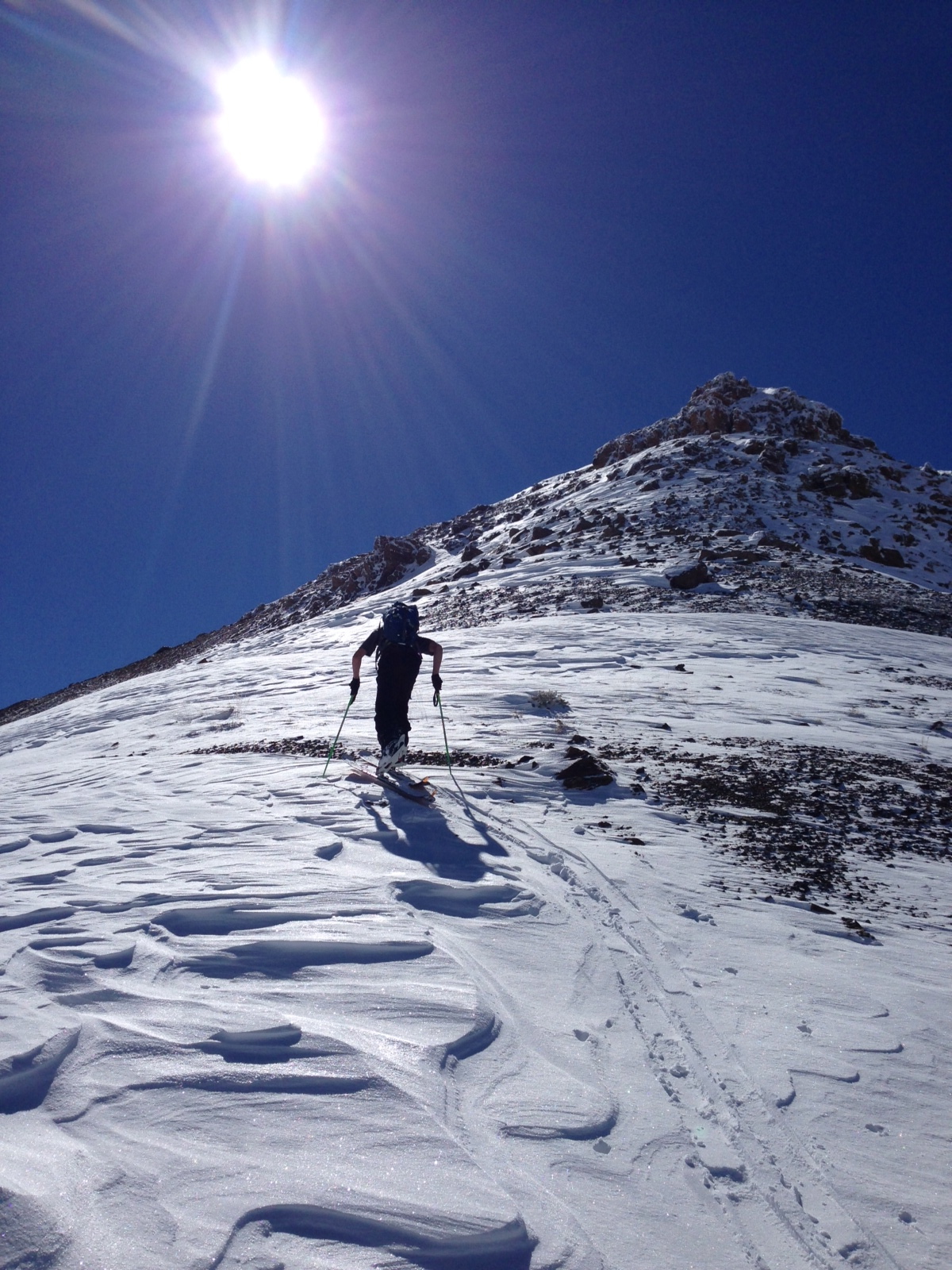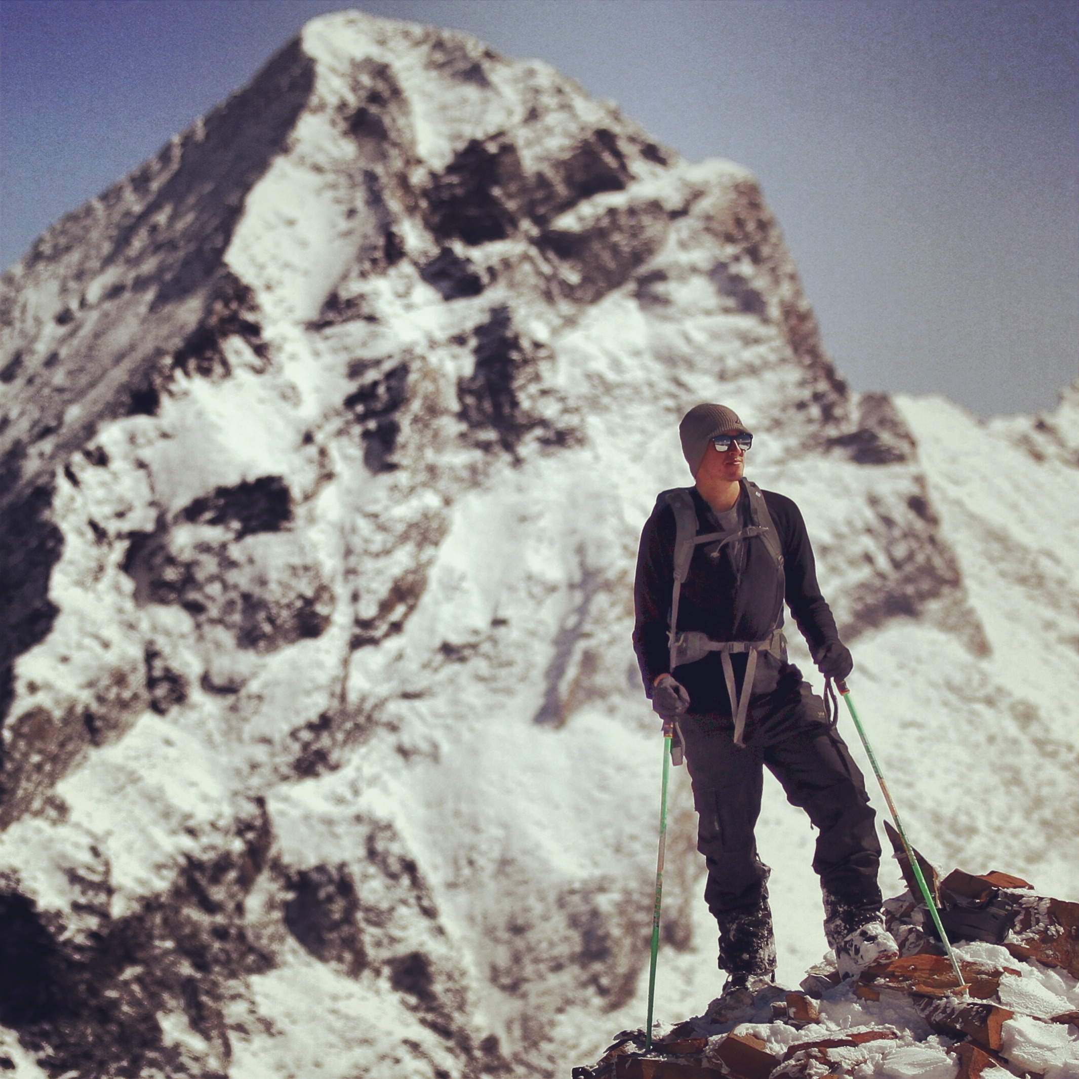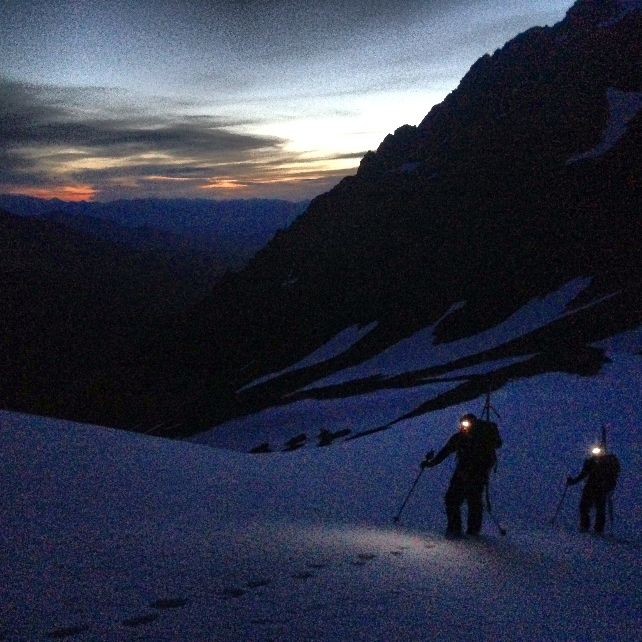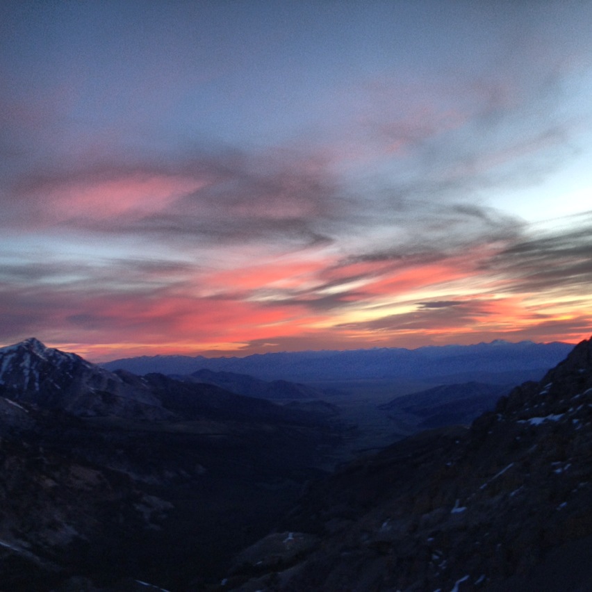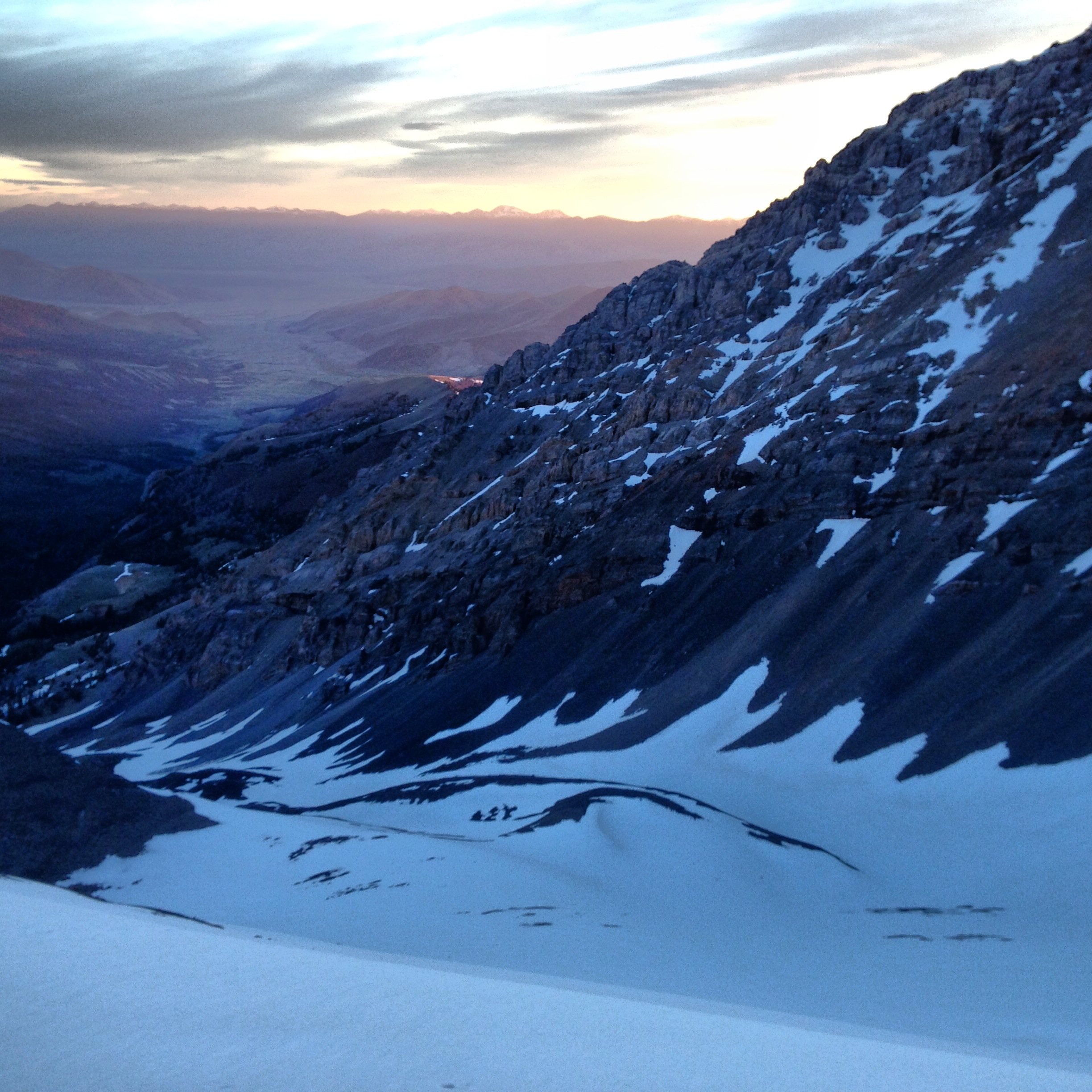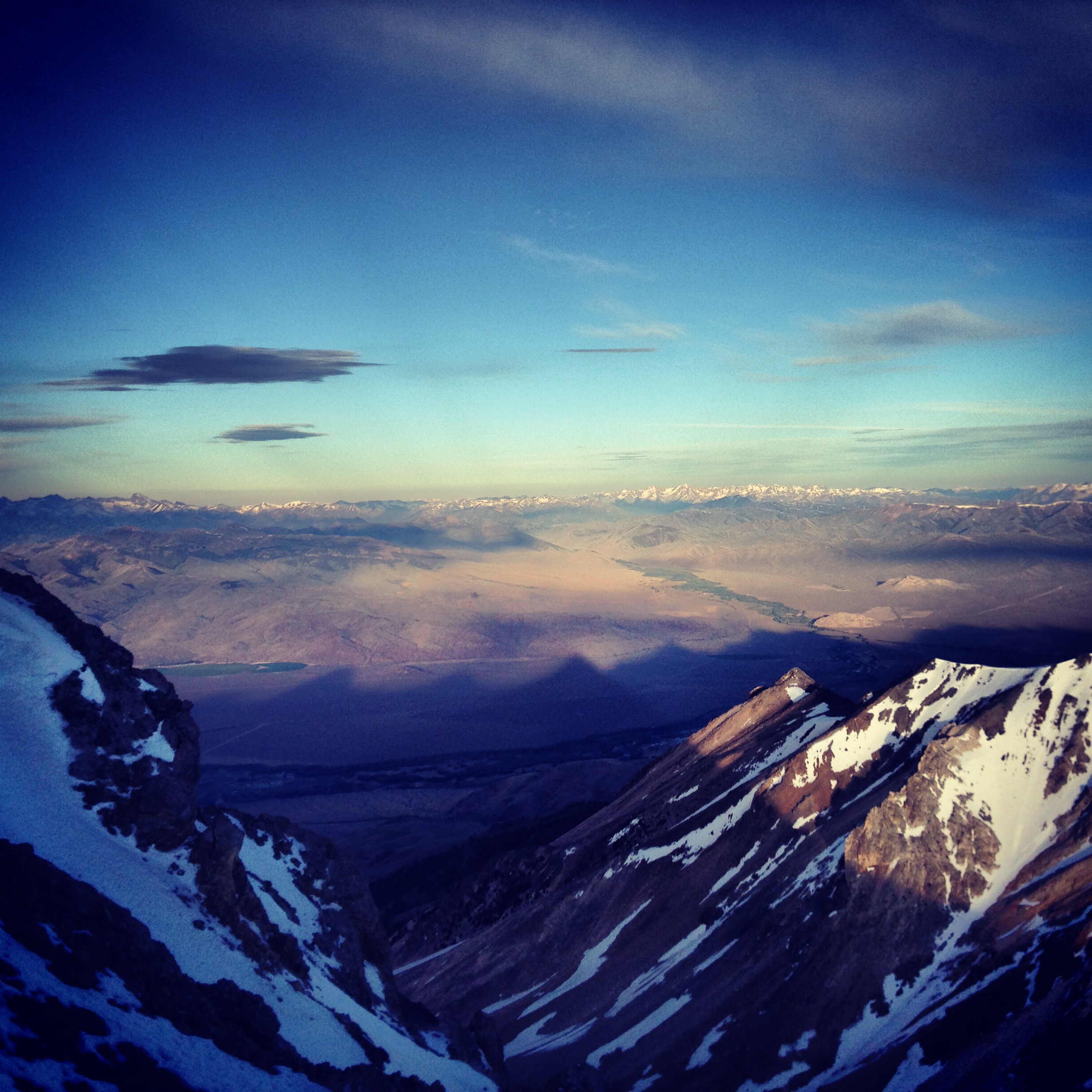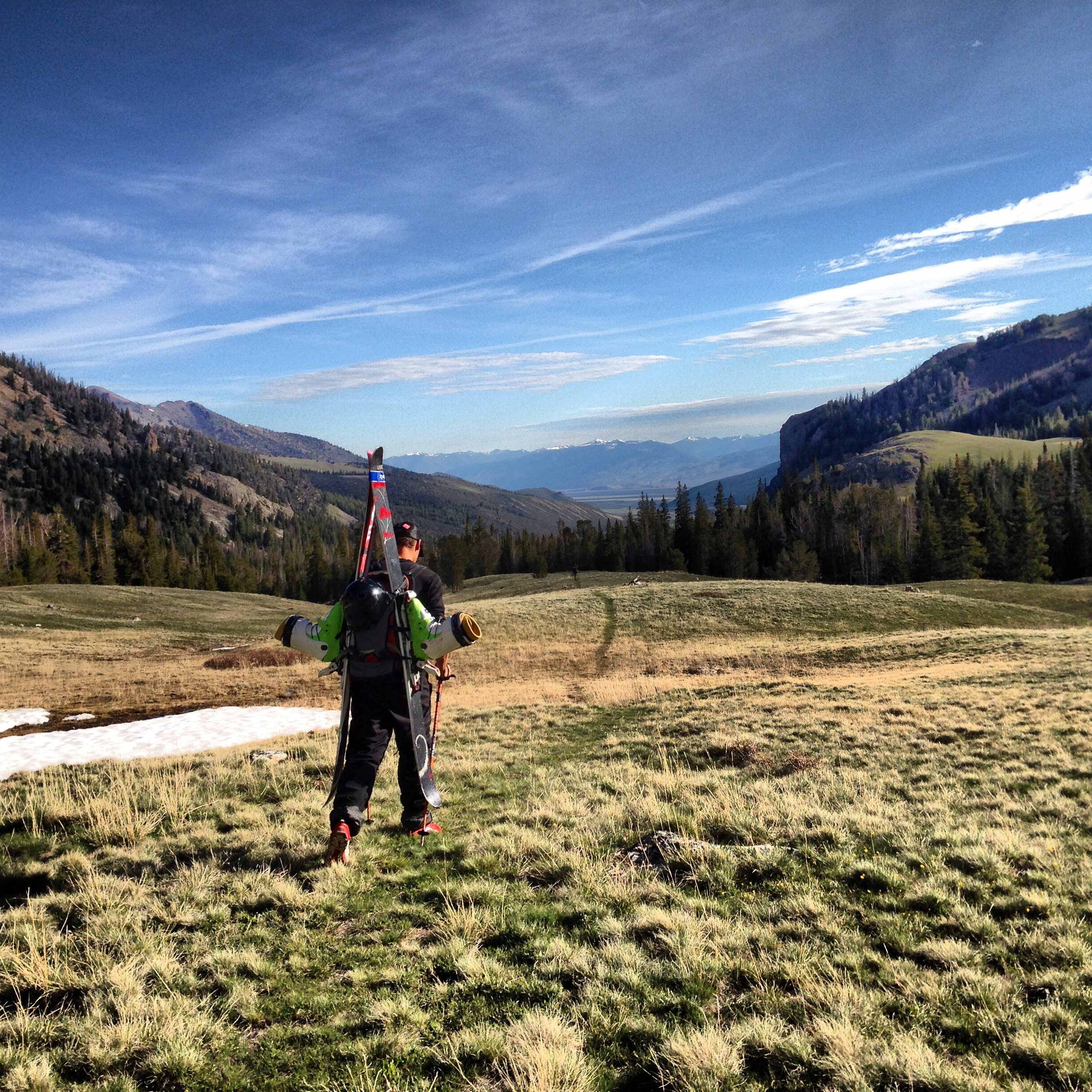

Andrew and Gordo on an early season tour near Banner Summit, which received significantly more snow in December than the surrounding areas.
Although it is halfway through the ski season, winter didn’t arrive until last week. After skiing powder in September (my earliest turns ever), I was ready for winter. Little did I know at the time that there would be a four month wait for any significant snow to fall. Experiencing the warmest fall and driest first-half of the winter since moving to Idaho, it has been a frustrating start to the winter season.
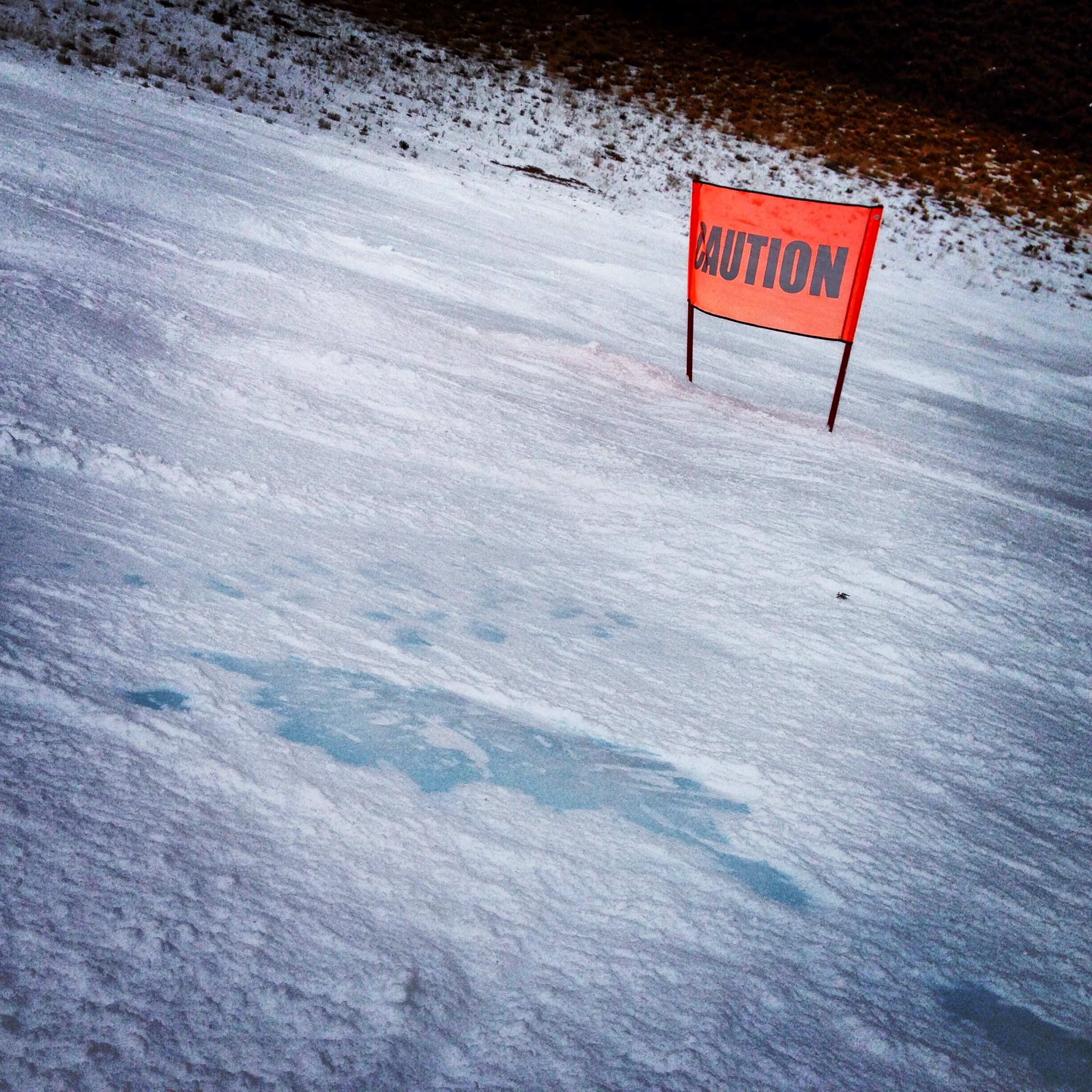
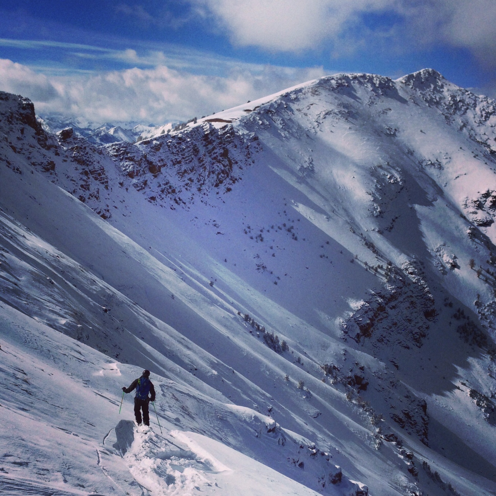
Even by January, we were still hurting for snow.
The upside to the warm fall weather was that it allowed us to climb later than usual. After recovering from our exhausting trip to the Elephant’s Perch, I spent some time with my brother at the City of Rocks in November. We were hired to produce a short trailer for an upcoming climbing book, and over the course of three cold and snowy days at the City, we were able to get just enough climbing and filming done to make it work. By late November, outdoor rock climbing season was over.
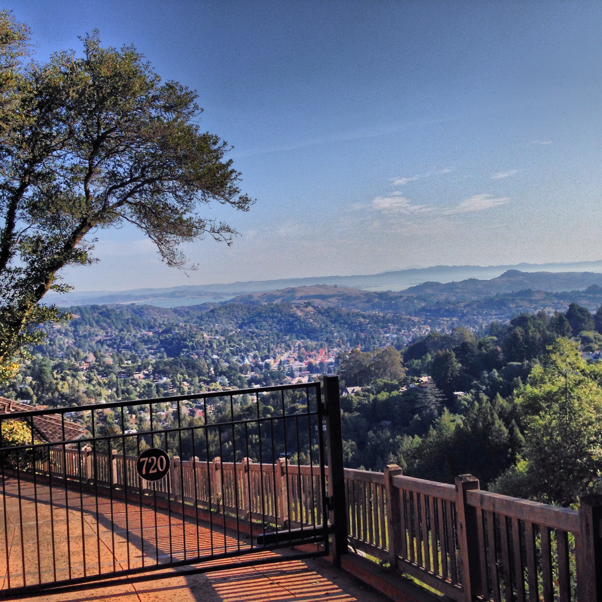
Mill Valley, California.
After completing our short film project, I drove out to California to visit family for Thanksgiving. As much as I love living in the mountains of Idaho, it’s always nice to spend some time down in the lush, coastal environment of Northern California. With narrow, winding roads shaded by gigantic redwood trees, steep hillsides shrouded in morning fog, and the smell of coastal air, I’ve always found Mill Valley to be quiet and enchanting, especially considering its proximity to San Francisco. But after driving into the city and trying to stop to photograph the Golden Gate Bridge (which involves navigating through the thousands of cars and other people who want to do the same), I was quickly reminded of why I moved to the mountains.

The Golden Gate Bridge and San Francisco.
Once back in Sun Valley, our ski season was experiencing a “failure to launch”. We aren’t used to a lot of snow here, hence Sun Valley’s ultra-advanced snowmaking system, but this was as bad as it gets. On Christmas day, the surrounding mountains were still nothing but a sea of brown. While the inbounds skiing was decent considering the conditions, the situation became more dire as January set in, and we were still without any significant snowfall.

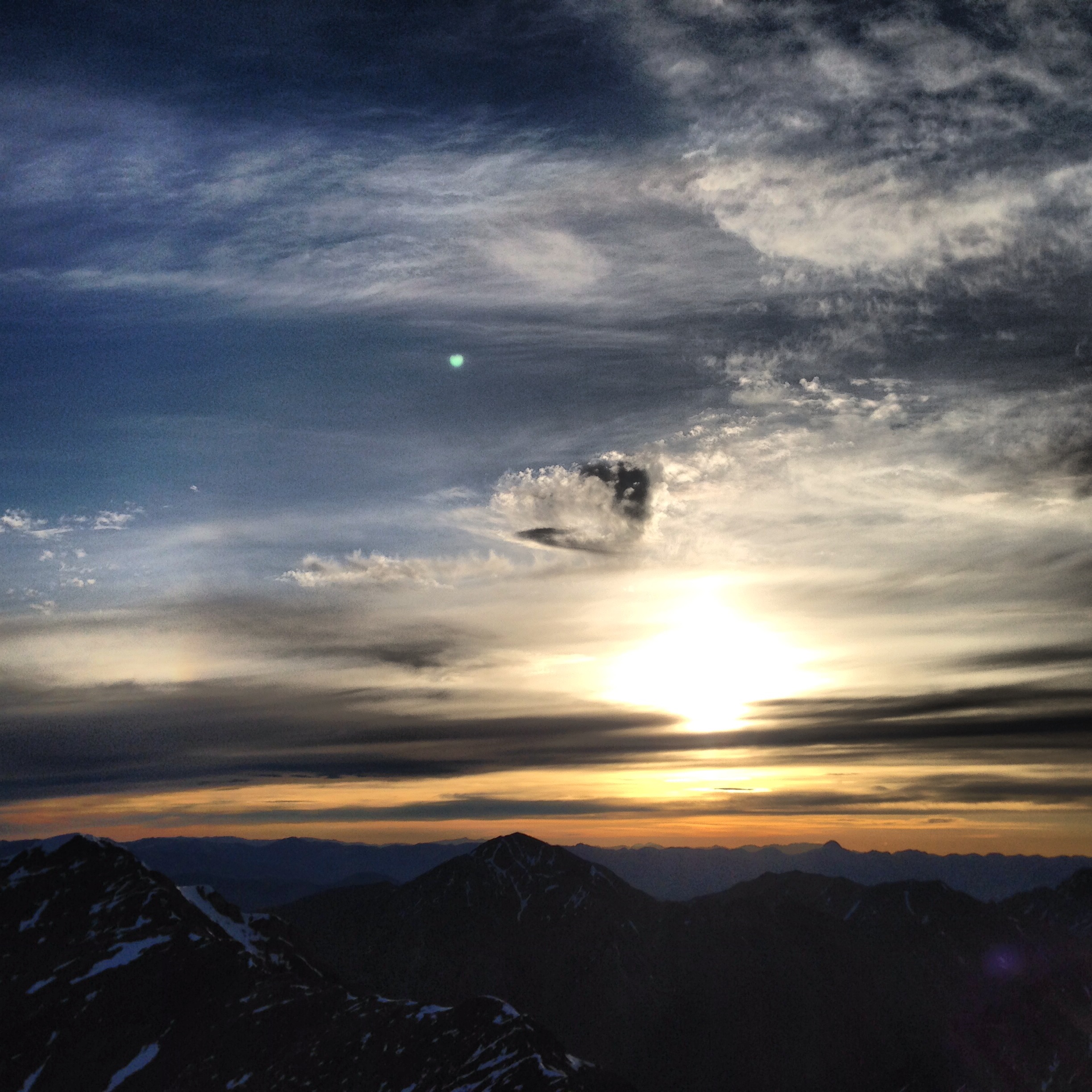
The sun sets over an unseasonably dry Sun Valley, Idaho.
On a positive note, the non-existent snowpack allowed access to some roadside ice on Trail Creek road, which is usually covered in snow during the winter. With plenty of experience using ice tools and crampons on steep snow but none on water ice, my friend Parker and I headed to Trail Creek to find some ice to climb. We found an easy flow just a few feet from the truck and set up a top rope. It took a climb or two to get the feel of it, and then we were both hooked. Excited to get on some steeper ice, we were bummed when a few weeks of warmer weather halted our plans.

Roadside ice climbing on Trail Creek road.
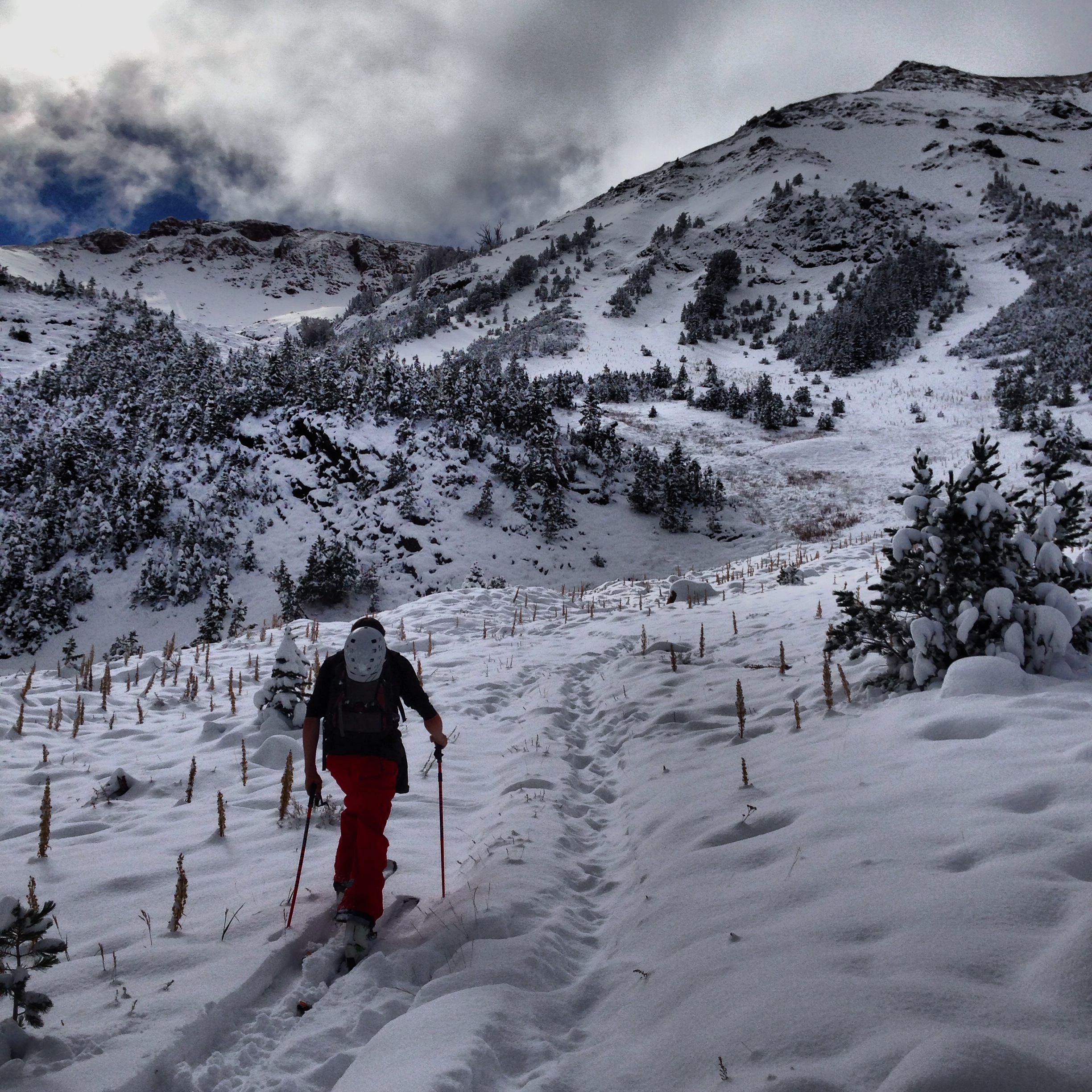
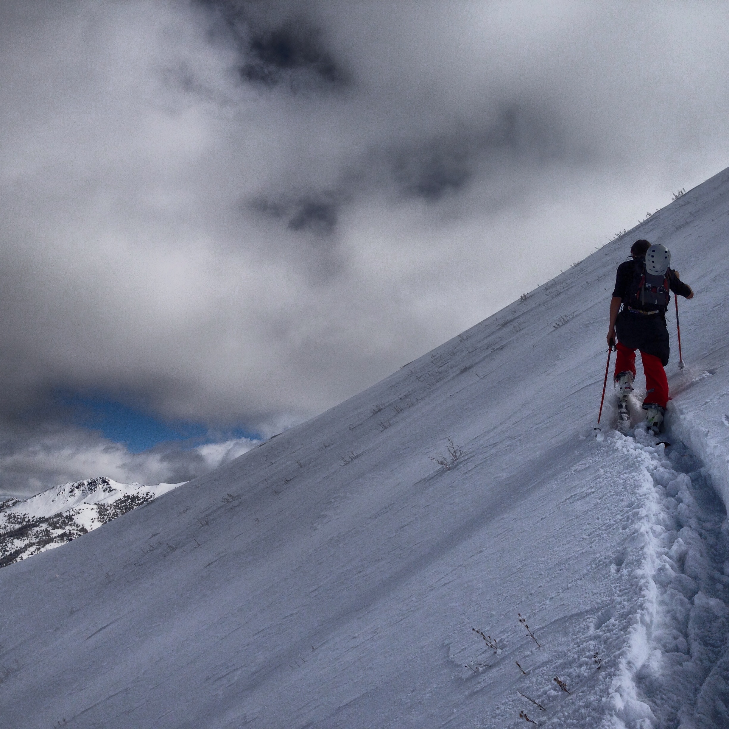
A few small storms in January seemed to mostly miss Baldy but filled in the backcountry just enough to start taking out the snowmobile. A new toy for me, it took a few days of getting stuck to finally learn how to turn in powder. After making a tow-line out of a section of old climbing rope, we took our first snowmobile skiing outing. Using one snowmobile to take our crew of three ten miles out a drainage before we started skinning made us realize the potential of the snowmobile to access more remote areas for skiing.

Finally getting my turns down on the sled.
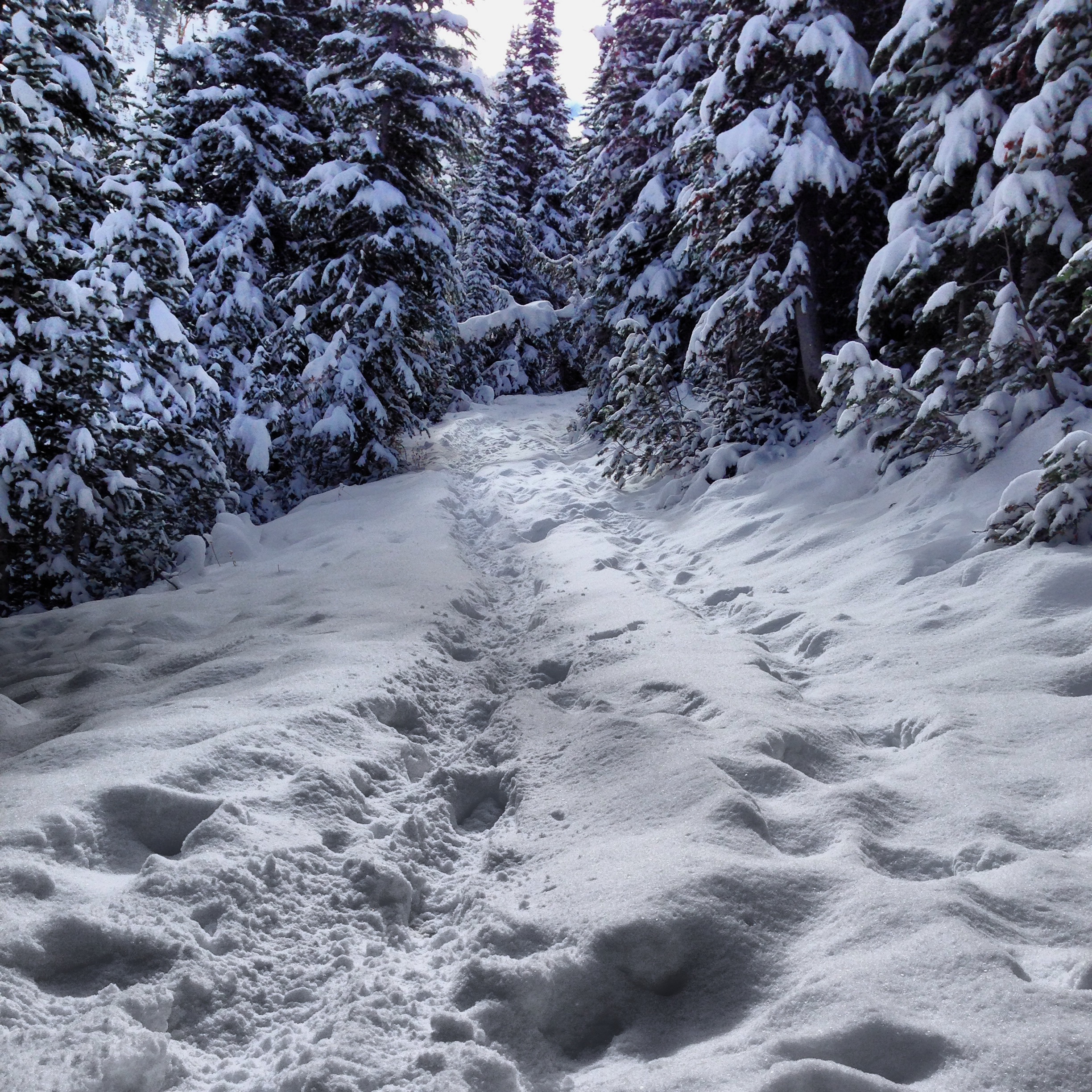
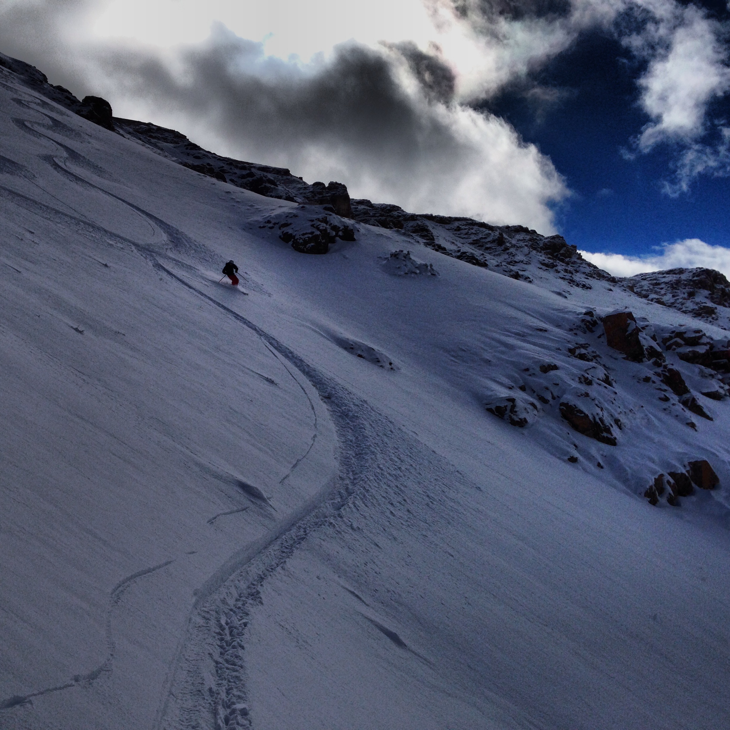
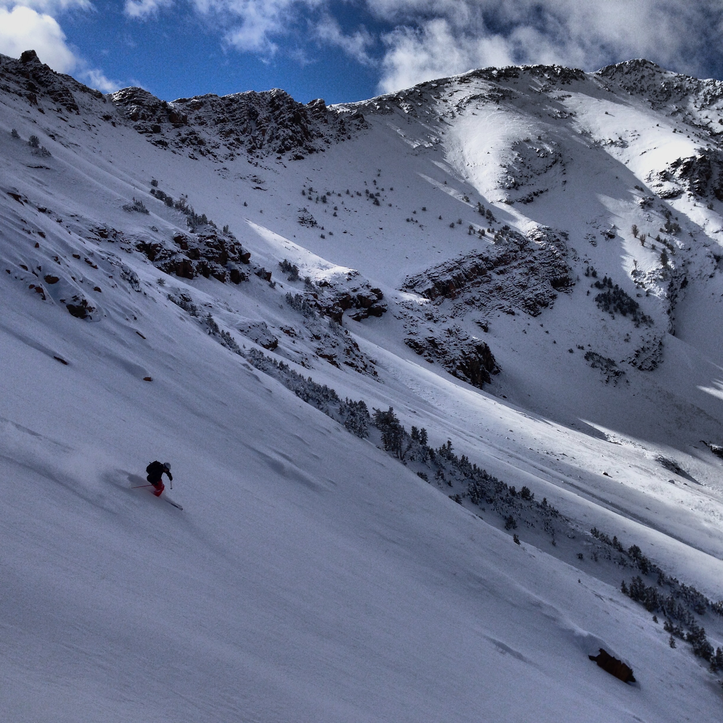
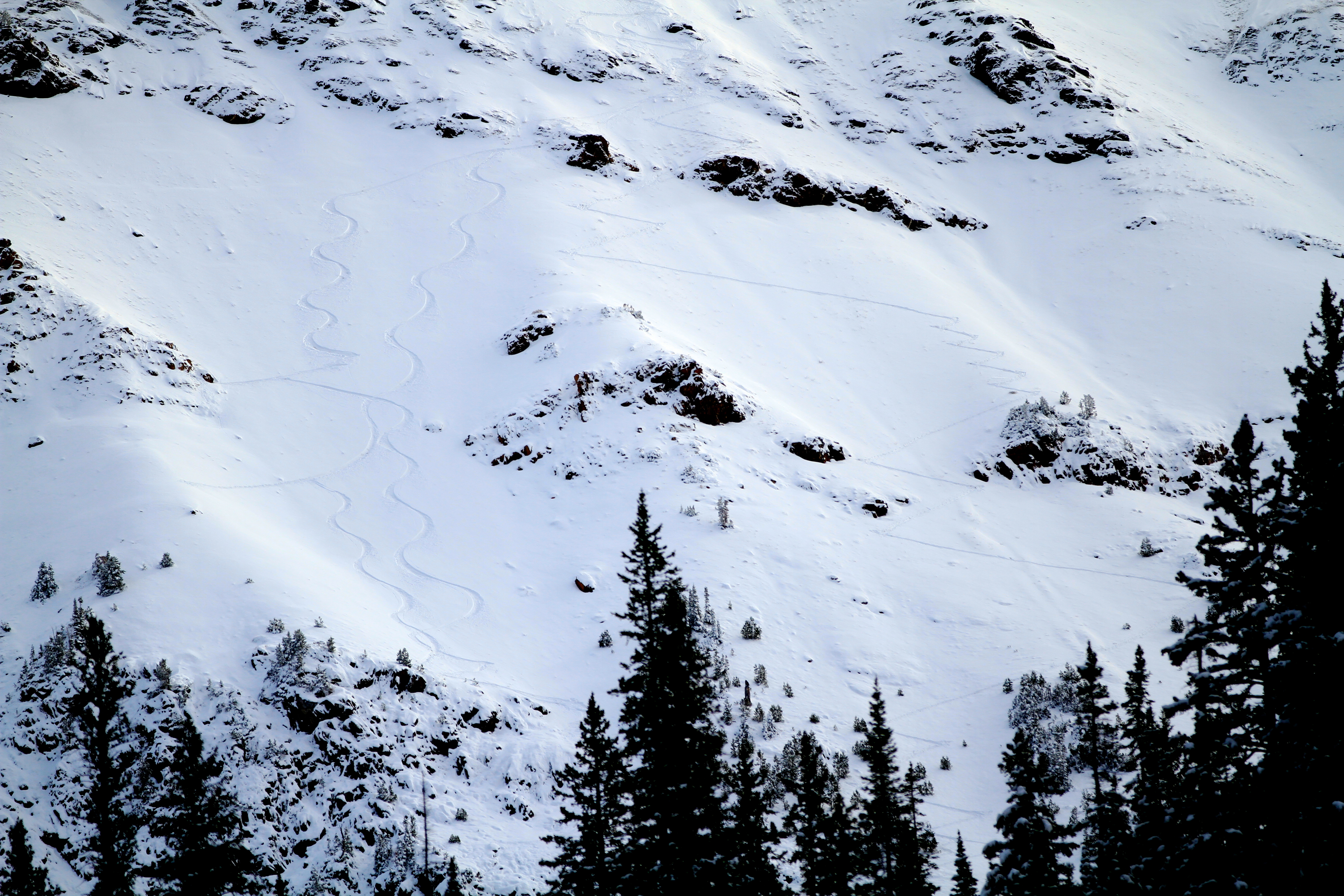
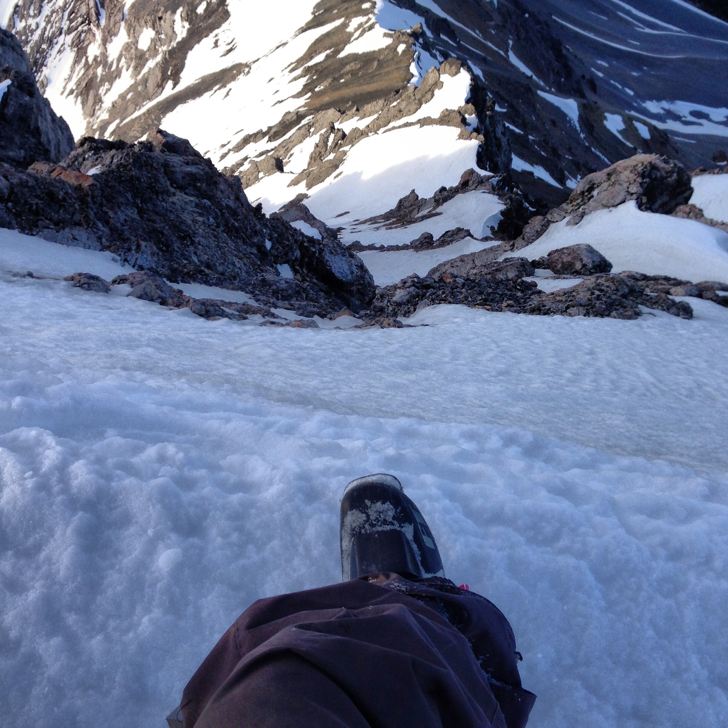
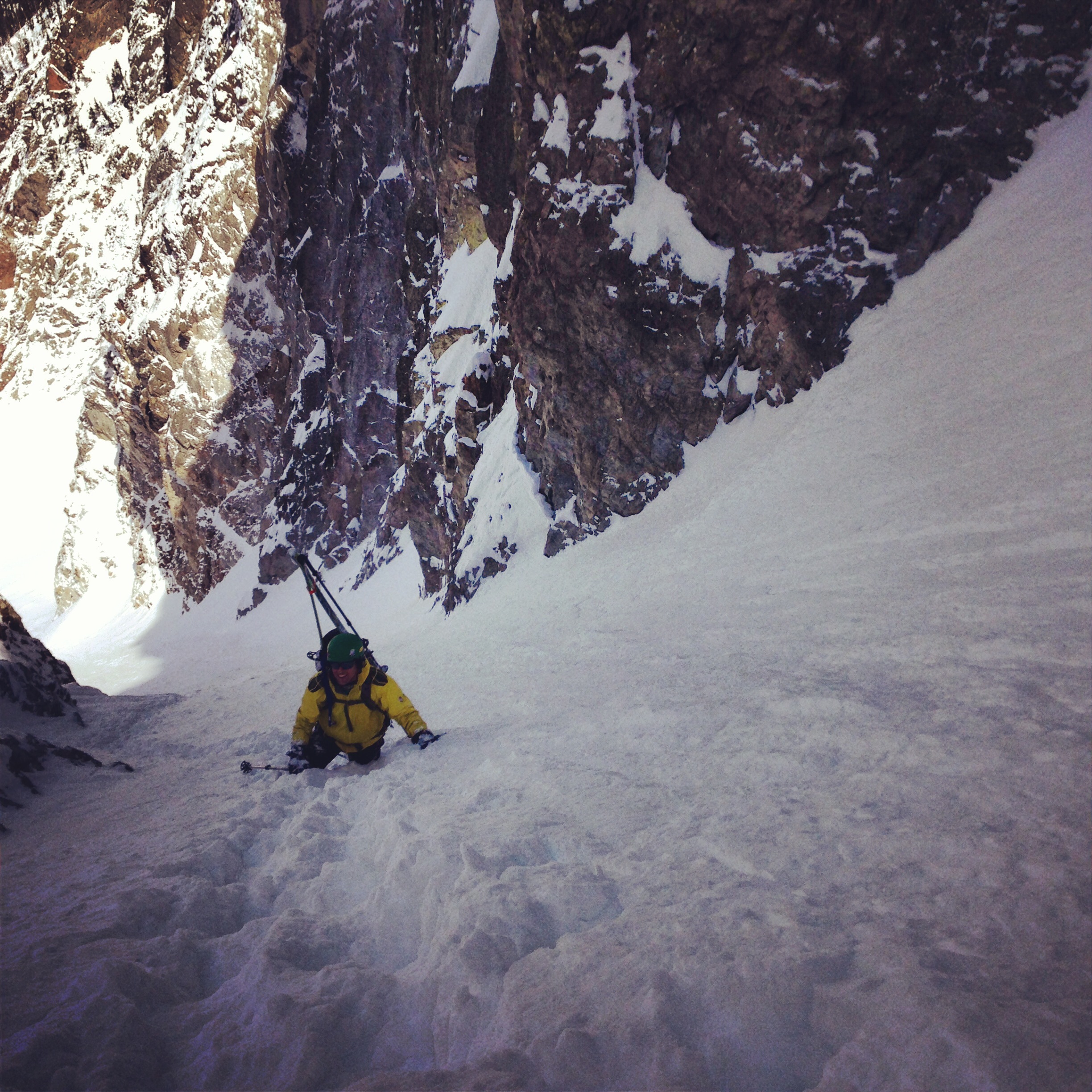
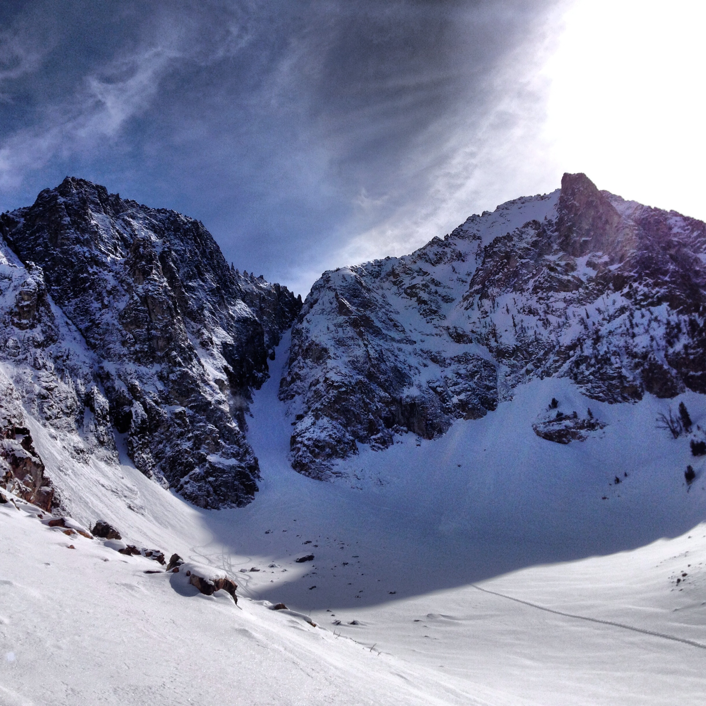
It is now halfway through February and it is the first time it has actually felt like winter. A series of recent storms dropped several feet of snow on Baldy and even more up north. There is snow is town, the trees are skiable, and the big mountains are filled in. The avalanche danger is high, with new snow on top of an unstable base with multiple persistent weak layers creating potentially dangerous conditions. The skiing is great right now, but it’s going to be a while until we can safely get into some bigger terrain. Meanwhile, there are more storms on the way!

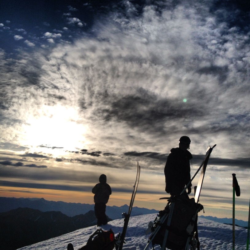
Finally back to where I want to be: skiing blower powder on a bluebird backcountry day.
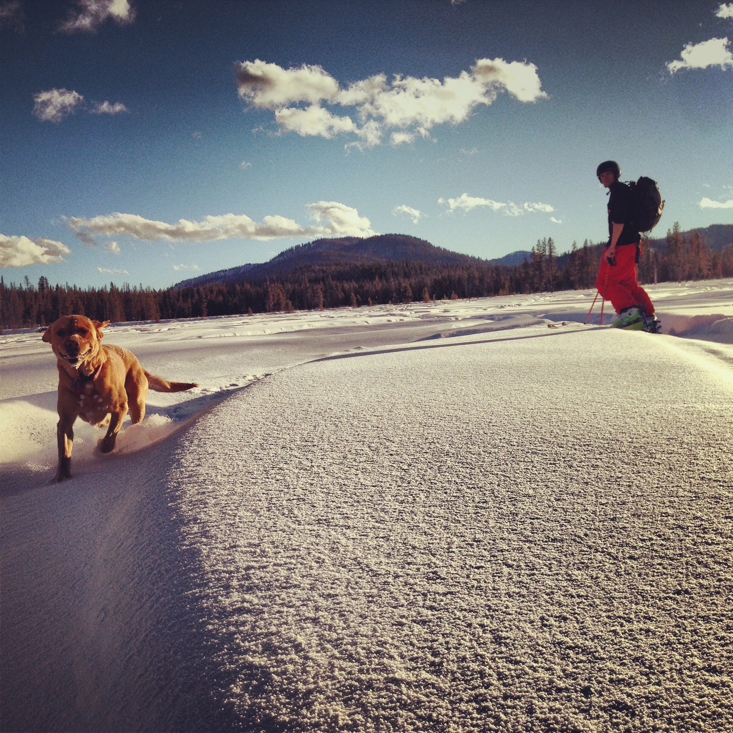
It’s good to know my dog is as happy about the new snow as I am.